5th Open Source Opportunities in GIS Summer School
...Summer School is an initiative aimed to meet the GIS professional demands related to free and open solutions, and we are working on this vision from the start. The Summer...
If you didn't find what you were looking for, try a new search!
...Summer School is an initiative aimed to meet the GIS professional demands related to free and open solutions, and we are working on this vision from the start. The Summer...
...collaboration of OpenGeo and the Geospatial Institute of the University of Nottingham. From the start, the aim of this initiative to meet the GIS professional demands related to free and...
...the German-language AGIT was realized as a hybrid-event. Additionally, the International Symposium on Digital Earth (ISDE) took place for the 12th time in 2021. The department of Geoinformatics-Z_GIS was organizing...
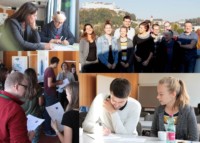
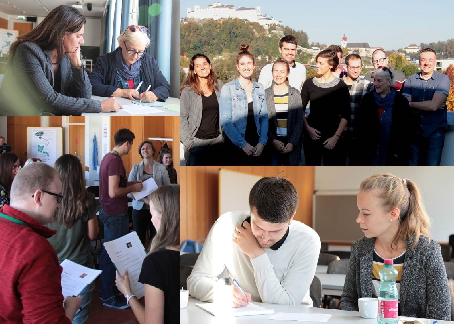
For the October intake of the UNIGIS professional certificate course, 11 future GIS-professionals met in Salzburg for starting together into an intensive year of studying. With the exception of this...
...application for the Portuguese Bluetongue Entomological Surveillance Program” was voted by the International Review Board as the best UNIGIS thesis this year. Stephanie Brand from UNIGIS Salzburg finished a very...
UNIGIS Distance Learning in Central Asia 23 July 2008Austria – UNIGIS MSc and professional certificate programmes are now offered in Central Asia through the UNIGIS (www.unigis.net) study centre at the...
Science. Throughout this time, the online training ecosystem of UNIGIS Girona has completely changed: the technology, the content, the learning platform and the needs of our students, but the essence...
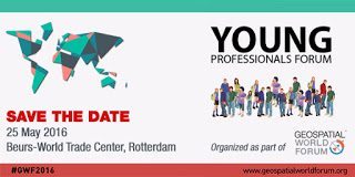
as a presenter in the student session? Students can send a 200 words abstract to papers@geospatialworldforum.org. The best one will be selected! Details will be up on www.geospatialworldforum.org soon. ...
participate as a presenter in the student session? Students can send a 200 words abstract to papers@geospatialworldforum.org. The best one will be selected! Details will be up on www.geospatialworldforum.org soon....
...recording > Victor Olaya (Forest Engineer): Basic tools and skills to become a GIS professional. This u_Lecture will be held in Spanish language! GIS is a diverse discipline and becoming...


