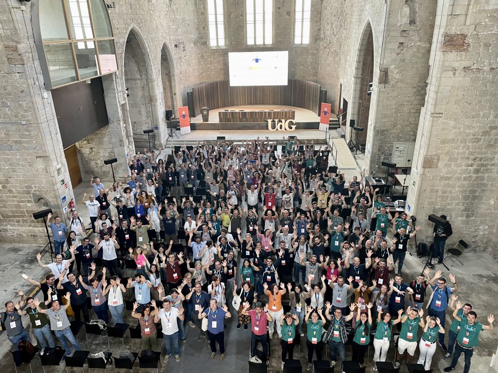
Jornadas de SIG Libre conference in Girona
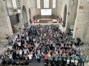
The Jornadas de SIG Libre, organized by the GIS and Remote Sensing Service of the University of Girona, is an annual event that brings together professionals in the geotech sector to discuss and learn about geotech and spatial data science. This year’s conference, held on June 14th and 15th, was a huge success, with over 200 professionals in attendance.
The conference program featured a wide range of presentations and workshops on various topics related to geotech and spatial data science. Some of the key topics covered included data visualization, spatial analysis, software and application development, webmapping, Earth observation, data science, geostatistics, machine learning, and open data.
One of the highlights of the conference was a keynote presentation by Dominic Royé, a data scientist researcher, on the topic of GIS with R. This presentation provided valuable insights into the use of R in GIS and the importance of open data and open software in the field.
In addition to the keynote presentation, the conference program also included communications, lightning talks, and workshops. The communications focused on explaining the process of developing a project or solution, rather than simply presenting the results.
The lightning talks, on the other hand, were shorter presentations that highlighted projects and trends in the field of geotechnologies and spatial data science. These talks provided a quick overview of various topics and sparked interesting discussions among the attendees.
The workshops, which were open to all conference attendees without requiring prior registration, provided a more hands-on component to the event. Participants had the opportunity to learn and practice various skills related to web mapping, Python programming, QGIS, satellite imagery analysis, drones, big data, and more. These workshops were highly interactive and allowed attendees to gain practical knowledge that they could apply in their own work.
For those who were unable to attend the conference or missed certain sessions, the videos of the communications and the documentation of the workshops are available in the conference’s GITHUB repository. This allows participants to access the valuable content and continue learning even after the event.
https://github.com/SIGTE-UdG/jornadassiglibre/tree/master/2023
The success of the Jornadas de SIG Libre would not have been possible without the support and sponsorship of various organizations. Nexus Geographics, the Institut Geogràfic i Geològic de Catalunya (ICGC), the National Center for Geographic Information (CNIG), Geoinnova, Infraplan and UNIGIS Girona.
UNIGIS Students meeting
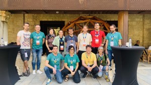
Additionally, UNIGIS Girona sponsored the Geosfera networking area, providing a space for participants to connect and engage with each other. This networking area was a hub of activity throughout the conference, allowing attendees to meet and interact with professionals from various sectors of the geotech industry.
Furthermore, UNIGIS Girona also provided six scholarships for Master in GIS students to attend the conference. This opportunity allowed these students to not only learn from the presentations and workshops but also to discuss and meet their own teachers.
Overall, the Jornadas de SIG Libre was a successful event that brought together professionals, students, and enthusiasts in the geotech and spatial data science field. The diverse program, the interactive workshops, and the networking opportunities provided a platform for knowledge sharing, collaboration, and innovation.