Netherlands | Master of Science (MSc) in GIS
When you have decided that you would like to continue in the Unigis programme to complete an MSc, contact our administration to make an appointment to discuss your plans with...
If you didn't find what you were looking for, try a new search!
When you have decided that you would like to continue in the Unigis programme to complete an MSc, contact our administration to make an appointment to discuss your plans with...
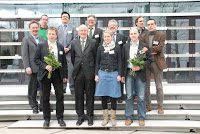
C.Hürzeler – rechts vorne At the annual seminar of the Munich ‘Round Table GIS’, MSc and PhD Geoinformatics thesis authors from German, Swiss and Austrian Universities compete for the top...
...graduated during the academic year (defined as Sept 1 to Aug 31) prior to the annual UNIGIS International Association Business Meeting will be eligible for the Prize. Candidates must submit...
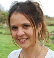
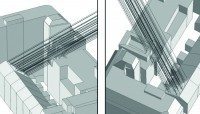
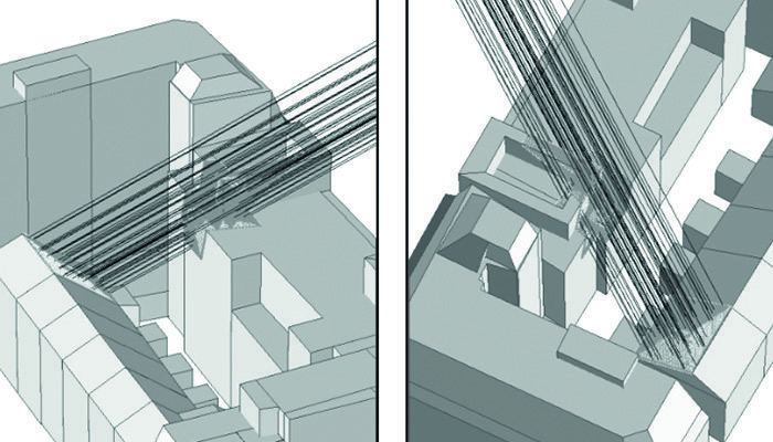
Heidi El Hosaini (UNIGIS Manchester) had been named the winner of the annual worldwide UNIGIS Master Thesis competition in October 2014 for her dissertation titled “Locating and positioning solar panels...
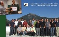
...to systems implementation and from business cases to educational perspectives demonstrated the enormous width and depth of GIScience! The UNIGIS Salzburg team is wishing everybody well with the final stages...
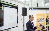
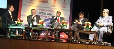
...Geography’ as one of the key trends in today’s geospatial developments. India’s leading Geoinformatics event did not only again succeed in bringing together top decision makers, scientists and business representatives, but presented...
...connections between academic education and business practice. We all are looking forward to the results of this initiative, and maybe even a few more startup companies!Over many years and through...
...way to implement the concept of landmarks in indoor navigation, using a case study at the Vienna University of Economics and Business Administration campus. You can read her thesis here....
estimate flood damage, this is Geographic Information Science (GISience). Combination of Geography and Computer Science applied to more than just everyday situations. GIScience uses GISystems to solve such spatial tasks…...
...further explored, expanded on a larger scale, and/or researched with respect to their potential business value. In this case, potential customers would include solar panel companies and installers, urban planners,...

