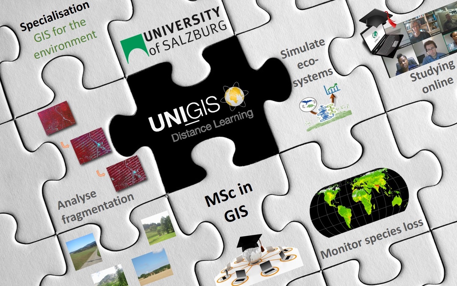
UNIGIS Salzburg offers a new specialisation on GIS for the Environment. It is targeted at working professionals in the environmental or ecological domain, who want to acquire or deepen their GIS competences. A minimum of 12 ECTS is dedicated to the specialisation, which can be extended to 54 ECTS (including the Master Thesis). Students will gain competency in the following fields:
- Environmental monitoring – conceptualise environmental systems, identify adequate indicators, design a monitoring workflow, analyse and visualise system state changes.
- Spatial simulation of complex ecological systems – design, implement, analyse and validate spatially explicit simulation models to solve applied problems and conduct ecological research.
- Earth observation for sustainable development – use satellite data to extract information on land cover, ecosystems and water resources, assess ecosystem states and detect changes.
All courses provide methodological foundations combined with hands-on exercises to get the necessary skills and apply the acquired knowledge to real-world problems. Possible application areas span from the assessment of human disturbance on lynx populations to the orchestration of in-situ sensor networks to monitor agricultural phosphor discharge.
Applications are now welcome for the next intakes starting on March 1st 2019!
Please do not hesitate to contact us for further questions!