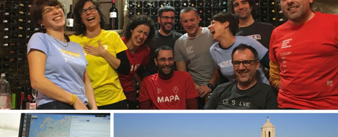
UNIGIS Girona celebrating its 20th anniversary!
Right from its beginnings, the GIS and Teledetection service (SIGTE http://www.sigte.udg.edu/) of the University of Girona embraced the UNIGIS Girona project, and has made it grow to what it is today. Getting this far has been an adventure in itself, a project of professional growth and personal experiences. However, UNIGIS Girona has reached the twentieth edition thanks to the contribution of each single person involved in the project: • almost 2000 alumni who trusted us and who paved their own way with our master’s degree; • tutors of the different modules; • contributors who have made possible the proper performance …
Read more…
Making GI/EO professionals ready for the future!
The Earth observation (EO) and Geoinformatics (GI) sector is rapidly evolving due to technological advances, growing collections of open data (e.g. Copernicus), and a broader user base. This evolution requires the adaptation of EO/GI training for matching the skills on demand most useful for the market and society. EO4GEO is an Erasmus+ Sector Skills Alliance project, aiming at bridging the skills gap between supply and demand of education and training in the space/geospatial sector and gathering 26 partners from the education/training and space/geospatial sectors. Most of the partners from academia, private and public sector are part of the Copernicus Academy …
Read more…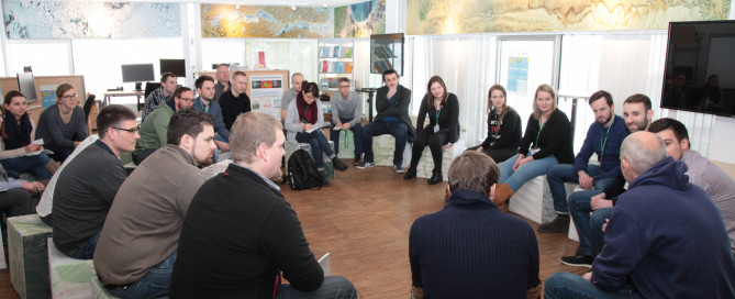
UNIGIS MSc 2018 successfully launched in Salzburg
“No open questions” was the motto of the 2-day introductory workshop held in Salzburg. Study-related topics provided a detailed insight into the UNIGIS distance learning framework. The UNIGIS MSc study day’s on 1st and 2nd March were attended by 32 new students from Germany, Austria and Switzerland with a very diverse educational and professional background. The UNIGIS MSc team is wishing our new candidates all the best for their upcoming coursework, and are looking forward to seeing everyone soon again at one or another future event!
Read more…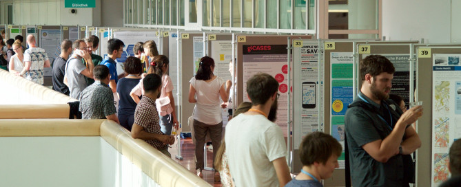
UNIGIS Geospatial Events Grants 2018
UNIGIS International Association “Geospatial events grants” (GEG) – Now open for applications! Established in 2017, the UNIGIS International Association for the first time awarded grants for participation in a leading Geospatial event. The aim is connecting UNIGIS students with the international geospatial community, So far, six UNIGIS students have been selected for funding and benefitted from presenting their work to a broad and international audience. You can learn more about their experiences on our blog. In 2018, two calls will be launched: Call spring 2018: application period March 1st – April 30th Call autumn 2018: application period October 1st – …
Read more…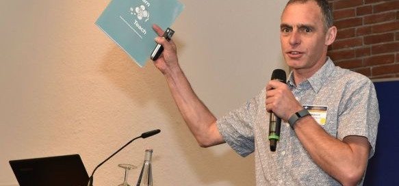
UNIGIS Fellow: Ian Heywood
The UNIGIS board of directors has decided to award the distinction of “UNIGIS Fellow” to Dr Ian Heywood – congratulations! Ian had been involved in key capacities with UNIGIS UK (Manchester) and UNIGIS International since its inception, and always played an important role as an innovator contributing many key concepts and strategies to the development of this still-unique international network of universities dedicated to online distance learning in Geoinformatics. While he is still recognized in the GIS community for his well established introductory textbook, he since has moved on to fields like innovation and entrepreneurship, and ‘up’ to the more …
Read more…
Winners of the UIA Academic Excellence Prize
The UNIGIS International Association (UIA) would like to announce the winners of its Academic Excellence Prize. The Prize, initiated in 2008, is presented to the student, or students, who submits the best MSc thesis (or paper) during the academic year and are nominated by their UNIGIS sites. As usually, this year’s competition was again very tight with seven excellent high quality MSc theses being considered by the Review Panel. In the end, the panel decided to make three awards, including two winners of the Academic Excellence Prize for 2017 – both researching the topic of Volunteered Geographic Information: – Luke …
Read more…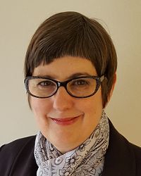
Ann Olivier named ‘UNIGIS International Fellow’
At the recent UNIGIS International network meeting, the UNIGIS board of directors unanimously decided to award the distinction of “UNIGIS Fellow” to Ann Olivier – congratulations! Ann had started her involvement with UNIGIS at the (then) Port Elizabeth Technikon, quickly developing their UNIGIS program into a highly regarded professional qualification. Over many years and through many structural changes, Ann Olivier was recognized as the ‘heart and soul’ of UNIGIS in South Africa. Numerous students owe their successful graduation to the motivation and support provided throughout their study program, and beyond: many successful geospatial careers would not have been possible without …
Read more…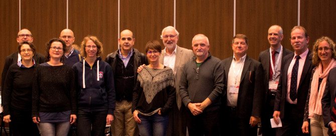
UIA Business Meeting @VU Amsterdam
During the last week of November UNIGIS Program directors have met at the Vrije Universiteit Amsterdam to discuss future development of distance learning for geospatial professionals worldwide. Throughout the meeting various information and discussion sessions were held on topics of elearning, curriculum, new resources and educational materials as well as virtual exchange of students and marketing actions. Dedicated to Dissemination, the first day of this annual meeting was concluded with a joint participation at the GEO|Design+BIM 2017 conference education panel and a meeting with industry partners. The UNIGIS International Association board of directors used this opportunity to announce the designation …
Read more…
UNIGIS Geospatial Events Grant: Congratulations to new Grantees!
This year the UNIGIS International Association established the “Geospatial Events Grant” (GEG), to connect active UNIGIS students with the international geospatial community and enhance the learning experience beyond lessons and exercises. We are now pleased to announce the grantees within the second Call of this Grant! Two UNIGIS students have been awarded a grant for participating in a leading Geospatial event and presenting their work to a broad audience: Oscar Londoño, Master student at UNIGIS AmericaLatina, receives a grant for attending the Esri Health and Human Services GIS Conference 2018. Mr. Londoño is a medical epidemiologist from Cali, Colombia and …
Read more…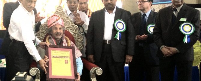
Excellence Award for UNIGIS S/E Asia Director Dr. Shahnawaz
Dr. Shahnawaz has been has been honoured with the ‘Excellency Award 2017’ by the Union of Geographic Information Technologists (UGIT) established at Bangalore University, India for his contributions in enhancing geospatial education, training and research in South and Southeast Asia over last fifteen years. Dr. Shahnawaz is Director of UNIGIS S/E Asia at the Interfaculty Department of Geoinformatics – Z_GIS, University of Salzburg, Austria and has established cooperations for Geospatial education between Z_GIS and a number of leading universities in S/E Asia and implemented a range of cooperation activities. Dr. A. S. Kiran Kumar, Chairman – Indian Space Research Organisation …
Read more… Previous Next