Daniel Paco receiving a Geospatial Events Grant for attending the 11th Workshop on Free GIS (11as Jornadas de SIG Libre)
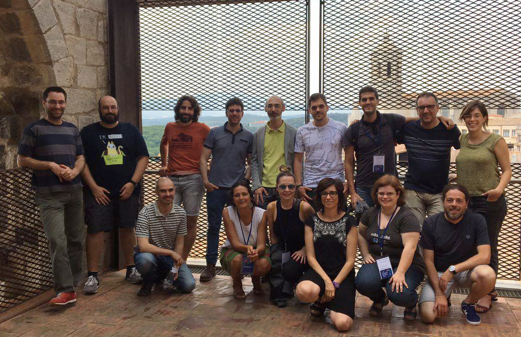
Daniel Paco is a first-year student of the Master’s degree in GIS from UNIGIS Girona and he received one of the Geospatial Events Grants from UNIGIS International Association for attending the 11th Workshop on Free GIS (11as Jornadas de SIG Libre) in Girona on June 1st and 2nd. The congress, organized by SIGTE (the GIS Service of the University of Girona and promotor of the UNIGIS Girona programme), is a meeting point of the GIS community that works with free software and shares its projects, developments and concerns. It is an event of plenary sessions, of technical communications and workshops, but above all of learning and exchange.
Daniel Paco had the opportunity to present the project in which he is working in Cape Verde ‘The ECOWAS Observatory for Renewable Energy and Energy Efficiency – an Spatial Data Infrastructure for energy planning in West Africa” and tells us his experience:
«My participation at the 11th workshop on open GIS really reaffirmed my belief that Informatics has an important and prominent role within GIS. In this field the future is bright and offers good career prospects and the present counts with several projects and collaborations, different technologies and experts that were present at the workshop. The event was an excellent opportunity to link up with the professionals within the Spanish community working not only on the development of open GIS technologies, but also in their applications in multiple and holistic projects and programs.
Constant networking is very important because it enables me converse with developers of applications and software that I am using. Also, it was very interesting to see that other projects use the technologies and solutions that I am using at work. I also came across some very good ideas to apply in my projects, and increased my knowledge, networks and contacts. They let me be hungry for more!
The practical sessions helped me to develop new skills on QGIS and introduced me to the development of plugins for QGIS with Phyton. Moreover, access to the presentations let me gather different information and experiences that I can use not only for my professional activity, but also in my personal learning process on GIS.
I would like to thank UNIGIS Girona for offering me the possibility to assist at the event when having also the opportunity to present and share the project I am currently working on in West Africa. The event was perfectly organised and held in such a fantastic place, the old convent of Saint Domènec. Also, I would like to thank UNIGIS International Association for supporting my participation through the Geospatial Events Grant 2017 program. This Grant facilitated a journey of almost 4000 Km to attend the event. It was definitely worth it. »