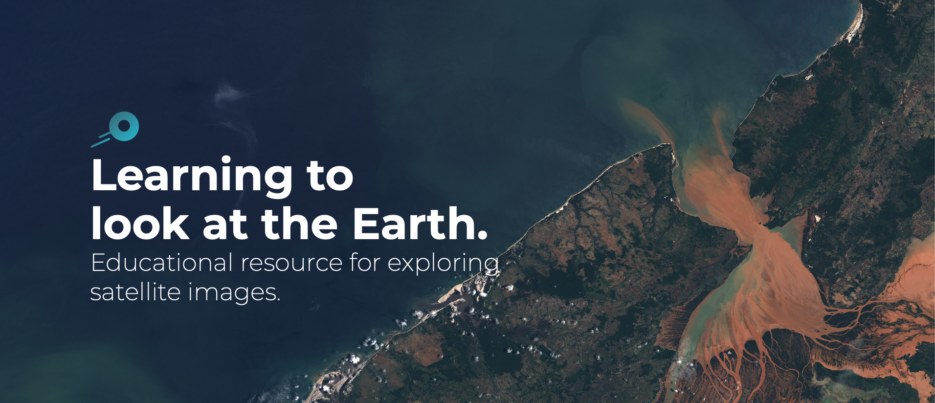
- Edusat is a website aiming at teachers, researchers and the general public. It has been developed by the Geographical Information Systems and Remote Sensing Service (SIGTE) of the University of Girona (Spain) to facilitate the discovery of satellite images and explore the Earth’s surface.
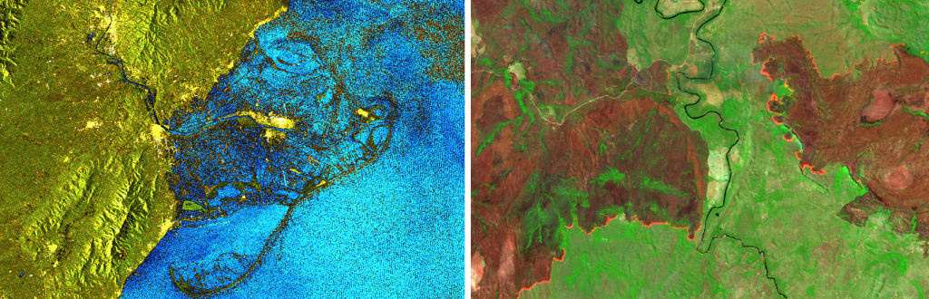
- Satellite images make it possible to analyse phenomena such as forest fires, floods or the melting of glaciers, as well as other socio-environmental problems.
Today, observing the Earth from space is easier than ever. Geographic Information Technologies (also called geo-ICT) allow you to know from anywhere on the planet ‘where’ and ‘why’ some phenomena occur. Remote sensing – which is the science that deals with obtaining information about the Earth through the use of drones, satellites or planes – allows you to identify what is happening in a particular place and investigate its impact on the Earth.
In this context, the University of Girona (UdG) has launched Edusat, a website full of educational resources, open and available to all. The platform allows dissemination and understanding of the science of remote sensing to a non-specialized audience, whether high school or university teachers, as well as the students themselves. The tool provides everyone with a resource that shows the potential of satellite imagery and its use from case studies for the analysis of natural events and socio-environmental issues.
Taking the pulse of the Earth
From the resources offered by Edusat, students, teachers, researchers and the general public will be able to learn to identify, control and analyse the transformations in the earth’s surface produced by global environmental change: from the deforestation of the Amazon to the impact of the storm Gloria or the retreat of the glacier on the Aneto mountain in the Pyrenees. From different practical cases, users will be able to identify these natural phenomena such as forest fires, glacier melting, deforestation or urban growth while learning to explore and process satellite images to obtain results. “In short, they are learning to take the pulse of the Earth,” says Laura Olivas, of the GIS and Remote Sensing Service (SIGTE) at the University of Girona.
The Edusat website is now available in three languages (Catalan, Spanish and English) and has been created by Geographical Information Systems and Remote Sensing Service (SIGTE) with the support of Cordinet as well as the Institute of the Environment and the Department of the University of Girona.
Access to these images is possible thanks to the Copernicus European programme of Earth Observation. The ESA (European Space Agency), counterpart of the American NASA, offers thousands of free and almost real-time images captured by the satellites from its mission so that both the general public and experts can openly use them to evaluate the health of the Earth.
For more information:
GIS and Remote Sensing Service (SIGTE) of the University of Girona
sigte@udg.edu | 972 41 80 39
Website: www.edu-sat.com