
May 10 | u_Lecture ‘Open and Reproducible Spatial Data Analysis for Spatial Data – Ideas and Examples’
May 10 | u_Lecture: ‘Open and Reproducible Spatial Data Analysis for Spatial Data – Ideas and Examples’ Registration now open for the u_Lecture webinar presentation by Professor Chris Brunsdon, on May 10 at 5pm CEST. Register here >>> The idea of reproducible research has gained much recent attention. This is an approach to publishing reports, documents and web sites relating to data analysis in which complete information regarding the data used and the programming scripts used to perform the analysis are encapsulated in a single object. The idea is that third parties can not only read the report but they …
Read more…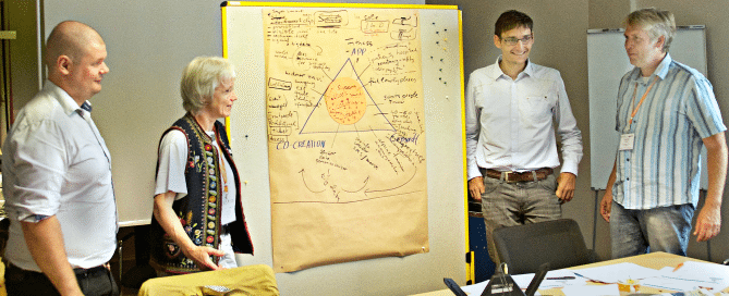
April 28-29 | Workshop: Geo-Entrepreneurship – Register now!
Using Location to Enhance Your Competitive Advantage. Build up your skills to bring your Geo-idea to the market! In this 1.5 day workshop you will be introduced to a range of techniques used by ‘startups’ to help develop your own geo-enabled business idea. You will learn the steps you need to take to identify and develop your idea, secure customers, and find market opportunities. The participants of this workshop will be GI professionals, UNIGIS/Geo- students and alumni who want to bring their own GI-project to life, or get a new business idea off the ground. These are not only skills …
Read more…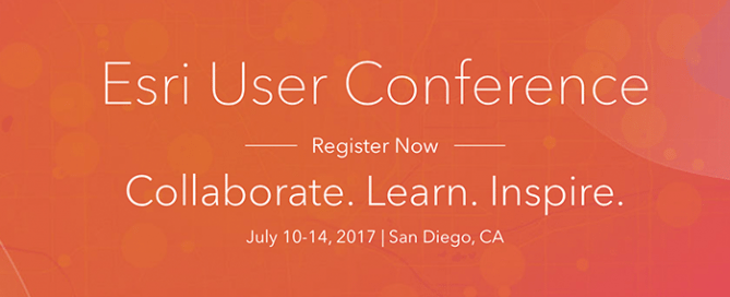
July 8-14 | UNIGIS at the ESRI User Conferences
Meet UNIGIS at the ESRI User Conferences Meet UNIGIS at the biggest GIS event of the year, the Esri User Conference in San Diego. From July 8th until July 14th, you can find UNIGIS in the different exhibition areas during the Esri User Conference: July 8-11 at the Esri Education GIS Conference July 10 at the Esri Academic GIS Program Fair table July 10-14 at the Esri User Conference booth We look forward to an exciting event together with you! More information >>
Read more…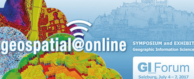
July 5-8 | GI Forum Salzburg
GI_Forum 2017 – geospatial@online GI_Forum 2017 provides a platform for dialogue among geospatial minds, creating an informed GeoInformation Society. Our motto ‘geospatial@online’ focuses on the universal and pervasive introduction of geospatial concepts and methods: have we completed the transition to online GI Services? Are we ready for GI Services 2.0, i.e. dynamic applications built on existing GI Services? Do we educate for these developments at school level? GI_Forum 2017 addresses such questions in the context of big data, sensors, real time data streams, geodata infrastructures and cloud computing, bearing in mind perspectives from a variety of domains. Paper presentations as well as …
Read more…
February 1 | U-Lecture webinar Geospatial Information Licenses for Non-Lawyers
February 1 | U_Lecture webinar Geospatial Information Licenses for Non-Lawyers This UNIGIS Webinar by Kevin D. Pomfret will be held on Wed, Feb 1, 2017 5:00 PM – 6:00 PM CET – The geospatial community (government agencies, industry, universities, NGO’s) are increasingly creating geospatial products and services by aggregating a wide range of datasets from a variety of sources. In many instances this data is licensed from one party to another, not sold. A geospatial information license does more than transfer rights in geospatial information from one party to another. It is a legal document that allocates operational and legal …
Read more…
December 14 | U_Lecture webinar ‘3D data capture with LiDAR’
December 14 | U_Lecture webinar ‘3D data capture with LiDAR’ Registration now is open for the u_Lecture webinar presentation by Christian Sevcik on Dec 14 at 5pm CET. Register here >>> This lecture is a about current LiDAR technology and its various applications: gain insights how point cloud data is acquired and derived with Waveform LiDAR sensors. We will shed some light on what it takes from sending out a laser pulse to a point with 3D coordinates. Learn about the latest trends in the LiDAR industry, from UAV operation, to multichannel and multispectral LiDAR and see some of the …
Read more…
December 2-3 | Workshop: Geo-Entrepreneurship
December 2-3 | Workshop: Geo-Entrepreneurship Using Location to Enhance Your Competitive Advantage. Build up your skills to bring your Geo-idea to the market! In this 1.5 day workshop you will be introduced to a range of techniques used by ‘startups’ to help develop your own geo-enabled business idea. You will learn the steps you need to take to identify and develop your idea, secure customers, and find market opportunities. The participants of this workshop will be GI professionals, UNIGIS/Geo- students and alumni who want to bring their own GI-project to life, or get a new business idea off the ground. These …
Read more…
November 23 | U_Lecture webinar Geo-Entrepreneurship
November 23 | U_Lecture webinar Geo-Entrepreneurship Wednesday 23 November 2016: “Geo-Entrepreneurship: Using Location to Enhance Your Competitive Advantage” Dr Ian Heywood, Condesys Consulting The importance of geography, or specifically ‘location’, is firmly back on the agenda as a business development opportunity for many companies. Knowing where customers, assets or employees are located has always been important, but with the growth in ‘location aware’ mobile devices, that can monitor location in real time and share this information across social networks, new disruptive business opportunities are possible. During this webinar Ian will be exploring, why now more than ever, new ‘Startups’ are leading …
Read more…
November 9 | U_lecture webinar Smart City Information Modeling
November 9 | U_Lecture ‘Smart City Information Modelling and Interoperability’ Dr Martin Huber, Condesys Consulting Wed, Nov 9, 2016 5:00 PM – 6:30 PM CET Using a tool called ‘Geographic Information System’ one would expect to get support to model, analyse and control the dynamic phenomena of a geographic region like a city or a country. The mainstream GIS technology delivered in the last 20 years, however, does hardly live up to this expectation. The information concept of GIS is map-centric and maps are static by nature. Information, on the other hand, is a dynamic piece of knowledge exchanged between different …
Read more…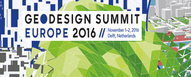
November 1-2 GeoDesign Summit Europe | Intercontinental Geodesign
November 1-2 GeoDesign Summit Europe | Intercontinental Geodesign The 4th edition of the GeoDesign Summit Europe is held in picturesque Delft with the TU Delft as the local host. Participants will explore together how they, as geodesign professionals, can incorporate GIS into their discipline to build safer, smarter, and more resilient communities. The motto of this year’s event, ‘Intercontinental Geodesign’, will emphasize that geodesign as a tool for collaborative planning and design works across scales, disciplines and continents to find solutions that improve our living environment. Facing global challenges as climate change and overpopulation but helped by modern ways of communication and collaboration, …
Read more… Previous Next