
February 1 | U-Lecture webinar Geospatial Information Licenses for Non-Lawyers
February 1 | U_Lecture webinar Geospatial Information Licenses for Non-Lawyers This UNIGIS Webinar by Kevin D. Pomfret will be held on Wed, Feb 1, 2017 5:00 PM – 6:00 PM CET – The geospatial community (government agencies, industry, universities, NGO’s) are increasingly creating geospatial products and services by aggregating a wide range of datasets from a variety of sources. In many instances this data is licensed from one party to another, not sold. A geospatial information license does more than transfer rights in geospatial information from one party to another. It is a legal document that allocates operational and legal …
Read more…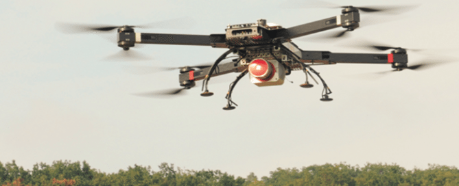
December 14 | U_Lecture webinar ‘3D data capture with LiDAR’
December 14 | U_Lecture webinar ‘3D data capture with LiDAR’ Registration now is open for the u_Lecture webinar presentation by Christian Sevcik on Dec 14 at 5pm CET. Register here >>> This lecture is a about current LiDAR technology and its various applications: gain insights how point cloud data is acquired and derived with Waveform LiDAR sensors. We will shed some light on what it takes from sending out a laser pulse to a point with 3D coordinates. Learn about the latest trends in the LiDAR industry, from UAV operation, to multichannel and multispectral LiDAR and see some of the …
Read more…
November 23 | U_Lecture webinar Geo-Entrepreneurship
November 23 | U_Lecture webinar Geo-Entrepreneurship Wednesday 23 November 2016: “Geo-Entrepreneurship: Using Location to Enhance Your Competitive Advantage” Dr Ian Heywood, Condesys Consulting The importance of geography, or specifically ‘location’, is firmly back on the agenda as a business development opportunity for many companies. Knowing where customers, assets or employees are located has always been important, but with the growth in ‘location aware’ mobile devices, that can monitor location in real time and share this information across social networks, new disruptive business opportunities are possible. During this webinar Ian will be exploring, why now more than ever, new ‘Startups’ are leading …
Read more…
November 9 | U_lecture webinar Smart City Information Modeling
November 9 | U_Lecture ‘Smart City Information Modelling and Interoperability’ Dr Martin Huber, Condesys Consulting Wed, Nov 9, 2016 5:00 PM – 6:30 PM CET Using a tool called ‘Geographic Information System’ one would expect to get support to model, analyse and control the dynamic phenomena of a geographic region like a city or a country. The mainstream GIS technology delivered in the last 20 years, however, does hardly live up to this expectation. The information concept of GIS is map-centric and maps are static by nature. Information, on the other hand, is a dynamic piece of knowledge exchanged between different …
Read more…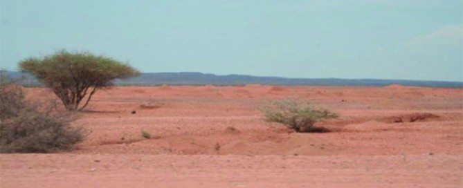
Webinar 31 May | Assessing Land Degradation and Desertification
Dr Elias Symeonakis, Senior Lecturer Manchester Metropolitan University & UNIGIS UK Land degradation and desertification has been ranked as a major environmental and social issue for the coming decades. Thus, the observation and early detection of degradation is a primary objective for a number of scientific and policy organisations, with remote sensing methods being a candidate choice for the development of monitoring systems. This webinar reviews the statistical and ecological frameworks of assessing land degradation and desertification using vegetation index data. The development of multi-temporal analysis as a desertification assessment technique is reviewed, with a focus on how current practice has …
Read more…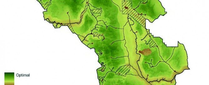
Webinar 25 April | GIS approaches to mapping wilderness
Dr Steve Carver, Senior Lecturer, University of Leeds Throughout early human history, wilderness has been a place of fear and dread, of wild beast and wilder people, often shown on old maps as “Parts Unknown” or “Hic Svnt Dracones” (Here be dragons). More recently these blank spots have acquired a certain romance and the word wilderness has become more closely associated with unspoilt nature and the sublime. In the modern world there are no remaining blank spots on our maps as satellites have surveyed every last inch of the earth’s surface so that all is now “known”. This webinar considers the …
Read more…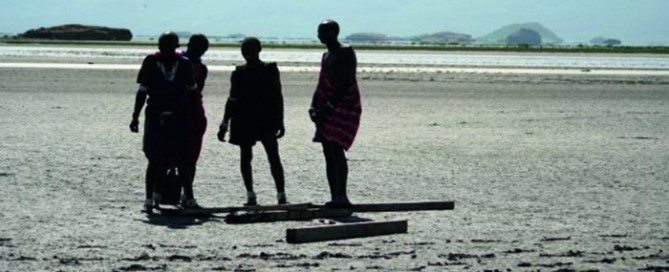
Webinar 29 March | Examining the impact of climate change in Tanzania
Rachael Reynolds, Phd Candidate Manchester Metropolitan University Climate is a key determinant affecting a number of disease pathogen life cycles and transmission. Over recent decades, climatically related diseases have shown increasing change in spatial location, both re-emerging in areas and expanding beyond previously known boundaries. Diseases such as Malaria, Chikungunya and Bacterial Meningitis. These changes in location are attributed to a number of factors, but predominantly associated with a mix of social, environmental and climatic changes. The unpredicted change in disease distribution has placed a significant burden upon health systems and available resources, proving particularly high risk in less economically …
Read more…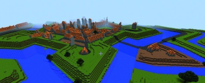
Webinar 6 Jan 2016 | GI Capacity Building in Schools
Willemijn Simon van Leeuwen – Director Geo Science Center GeoFort Mark Opmeer – Researcher Digital Humanities (recording) Is Minecraft a useful teaching tool? Researchers at SPINlab (Vrije Universiteit Amsterdam) are trying to find the answer to this question. Their focus group are teachers who use Minecraft in the classroom in three Dutch schools in Lelystad, Zaandam and Amsterdam. These teachers can provide valuable feedback about whether Minecraft is an effective teaching tool. https://www.youtube.com/watch?v=277979Wq0u4 Parallel to this, the project GeoCraft NL is developed: a Minecraft world with the whole of the Netherlands on a scale 1:1. The project, initiated by the …
Read more… Previous