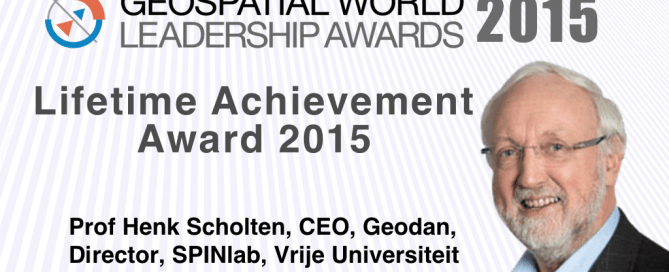
Professor Henk Scholten receives Lifetime Achievement Award
Prof Henk Scholten, CEO, Geodan, Director, SPINlab, Vrije Universiteit, has been honored with Lifetime Achievement Award by Geospatial Media and Communications for the year 2015. The award shall be presented during Geospatial World Forum on May 25, 2016 at World Trade Centre, Rotterdam. The jury, comprising of renowned professionals representing industry, academia, government and multilateral organizations, met in December ‘15 to select this year’s Geospatial World Leadership Awardees. While recognizing Scholten’s contribution as a teacher, entrepreneur and advocate of geospatial technologies ranging over 4 decades, the jury feels privileged to have chosen him for Lifetime Achievement Award. Scholten has been …
Read more…
Geospatial Competency Lifecycle
Published article in Geospatial World Magazine May 2016 By Professor Josef Strobl The definition of geospatial career pathways, offering professional growth opportunities following a geospatial paradigm with associated competencies, will enhance the appeal of starting positions and draw smart young people into our field. The‚ ‘brainware’ behind managing and operating spatial data infrastructures, generating information from geospatial sensors and data, and effective geovisual communications increasingly is considered the main critical success factor for leveraging geospatial technologies across its application domains. Education and training on various levels are supposed to develop these competences. Even though educational programs proliferate, student numbers often …
Read more…
5-8 July GI Forum | Special rate of €220 for active UNIGIS Students
This year’s GI_Forum motto is “open : spatial : interfaces”. The spatial sciences today contribute significantly to a more just, ethical and sustainable society. Prominent keynote speakers will highlight new developments, offer insights into trends and visions, and at the same time be individually accessible for Young Researchers. The special rate includes all events of the GI_Forum and the German-language counterpart, AGIT. Registration is open until June 25, 2016! Follow this link to register:http://gi-forum.org/registration. Call for Posters Deadline May 1st Take the opportunity to actively shape the program of the GI_Forum by presenting your work as part of our poster session. A poster …
Read more…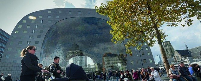
21-29 August | Summer School Smart Cities
Summer School Opportunity for UNIGIS Students @TU Wien The concept of Smart City is promising: The European Innovation Partnership on Smart Cities and Communities highlights the opportunities to link and upgrade infrastructures, technologies and services in key urban sectors (transport, buildings, energy, ICT) in a smart way [that] will improve quality of life, economic competitiveness and sustainability of cities. Such conceptions present Smart City-solutions as mainly technology driven utopian visions of societal transformation while blurring the multitude of social decisions made in technology development which fundamentally shape the kinds of social transformations possible in urban life. The Summer School brings …
Read more…
UNIGIS Portugal Achieves USGIF Accreditation
NOVA Information Management School of the Universidade Nova de Lisboa (NOVA IMS), located in Lisbon, Portugal, has been added to the growing list of USGIF-accredited GEOINT programs. Through the USGIF Academic Accreditation program, colleges and universities around the globe have the opportunity to receive accreditation of their geospatial intelligence programs accompanying a college degree. Students who meet high academic standards and graduate from accredited programs receive USGIF’s GEOINT Certificate, which helps ensure the GEOINT Community has a robust workforce now and in the future. To date, nearly 600 students have graduated with USGIF GEOINT Certificates. NOVA IMS is the first non-U.S. school to receive USGIF academic accreditation. The inclusion of NOVA IMS represents a major step for USGIF and signals the broadening of GEOINT as …
Read more…
24-29 May | QGIS International User and Developer Conference Girona (Spain)
This year, the Spanish FOSS4G (Jornadas de SIG Libre) organized by SIGTE (University of Girona) will held the 2nd edition of the International QGIS User and Developer Conference, as well as a QGIS Hack Fest. The conference will take place in May 2016 (24th-29th). During a whole week Girona (Spain) will be the capital of the Free and Open Source Geospatial Technologies. The International QGIS User and Developer Conference wants to be the referential conference, and a meeting point for the family of users and developers orbiting around the QGIS project, in order to gather experiences and sharing knowledge about QGIS. …
Read more…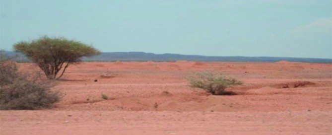
Webinar 31 May | Assessing Land Degradation and Desertification
Dr Elias Symeonakis, Senior Lecturer Manchester Metropolitan University & UNIGIS UK Land degradation and desertification has been ranked as a major environmental and social issue for the coming decades. Thus, the observation and early detection of degradation is a primary objective for a number of scientific and policy organisations, with remote sensing methods being a candidate choice for the development of monitoring systems. This webinar reviews the statistical and ecological frameworks of assessing land degradation and desertification using vegetation index data. The development of multi-temporal analysis as a desertification assessment technique is reviewed, with a focus on how current practice has …
Read more…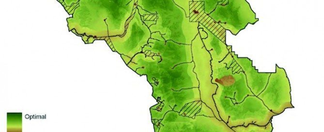
Webinar 25 April | GIS approaches to mapping wilderness
Dr Steve Carver, Senior Lecturer, University of Leeds Throughout early human history, wilderness has been a place of fear and dread, of wild beast and wilder people, often shown on old maps as “Parts Unknown” or “Hic Svnt Dracones” (Here be dragons). More recently these blank spots have acquired a certain romance and the word wilderness has become more closely associated with unspoilt nature and the sublime. In the modern world there are no remaining blank spots on our maps as satellites have surveyed every last inch of the earth’s surface so that all is now “known”. This webinar considers the …
Read more…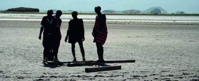
Webinar 29 March | Examining the impact of climate change in Tanzania
Rachael Reynolds, Phd Candidate Manchester Metropolitan University Climate is a key determinant affecting a number of disease pathogen life cycles and transmission. Over recent decades, climatically related diseases have shown increasing change in spatial location, both re-emerging in areas and expanding beyond previously known boundaries. Diseases such as Malaria, Chikungunya and Bacterial Meningitis. These changes in location are attributed to a number of factors, but predominantly associated with a mix of social, environmental and climatic changes. The unpredicted change in disease distribution has placed a significant burden upon health systems and available resources, proving particularly high risk in less economically …
Read more…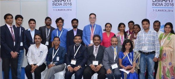
UNIGIS promoting Youth Forum at GSI’2016, Noida!
The UNIGIS@India team led by Dr. Shahnawaz (Director, UNIGIS S/E Asia) played a prominent role in this year’s ‘GeoSmart India’ conference and exhibition held from 1st to 3rd March, 2016 at the India Expo Centre and Mart, Greater Noida, India. UNIGIS coordinated a full day ‘Youth Forum’ on March 2nd, focussing on geospatial capacity building.
Read more… Previous Next