
GIS for managing vulnerable environments of the Galapagos-Islands
Over the last decades, the Galapagos Islands have faced a considerable rise in human activities (tourism, population growth and migration, exploitation of natural resources like fishing and agriculture) which has resulted in increased pressure on both, the marine and terrestrial ecological system of the islands. In order to develop a GIS-based information-management system that allows controlling of human interaction with the islands’ environment and adjusting human activities to its limited capacities, a group an international group of GIS-experts under the lead of ZGIS was invited by local authorities and the UNIGIS-partner in Ecuador USFQ to participate in a 7-day workshop …
Read more…
Learning step by step: UNIGIS Salzburg offers a new Microlearn-Application
The UNIGIS distance learning programme provides not only theoretical concepts in Geoinformatics and GIScience, but also highly application-oriented skills: Keeping up with the latest concepts in methodology and didactics is one of the goals of the UNIGIS Team.Since February 2014 UNIGIS Salzburg offers the opportunity to use the Microlearn-Application “Knowledge Pulse”, developed by Research Studios Austria. As we know it from “googling” or learning of vocabulary with index cards, Microlearning is a learning concept to strengthen the knowledge step by step within a short period. Especially students of a distance learning programme have a lot of advantages by using this …
Read more…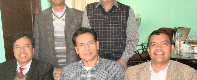
Winter intensive program at UNIGIS@Kathmandu
A week of various activities organised by UNIGIS@Kathmandu from 18th to 23rd February, 2014 concluded with a high level of satisfaction diagnosed by the Board of UNIGIS Studies at Kathmandu Forestry College (KAFCOL), Nepal. The week started with a meeting among Dr. Shahnawaz (Director UNIGIS S/E Asia), Dr. Ambika P. Gautam (Principal of KAFCOL) and Dr. Krishna P. Poudel (Coordinator UNIGIS@Kathmandu) for a management level review of UNIGIS study programmes. During the next 2 days, M.Sc Year-2 students presented their master thesis proposals which were critically discussed by all the participants for providing constructive feedback and suggestions for improvements. A …
Read more…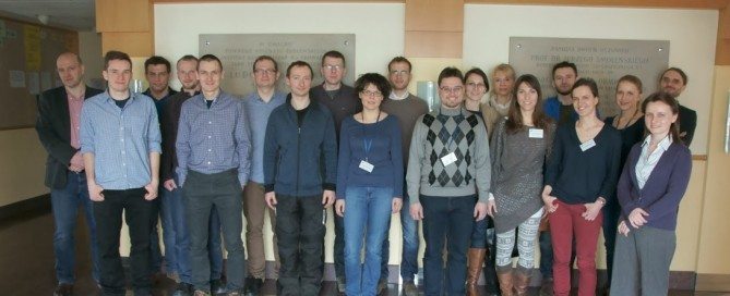
11th edition of UNIGIS studies at Jagiellonian University in Poland
Last weekend the UNIGIS Kraków center launched 11th edition of UNIGIS Postgraduate studies (www.unigis.uj.edu.pl). The second ten of intakes was opened with a nice group of young professionals, who are looking for some deeper knowledge and skills in GIS&T. In the new intake there was gathered a wide representation of geographers and surveyors. Furthermore, a lot of students come from quite remote locations in Poland and abroad. Definitely, distance mode of learning plays here its significant role. However, to make this mode as successful as possible, first two-day in-campus workshop was organized last week. It seems that classes composed of …
Read more…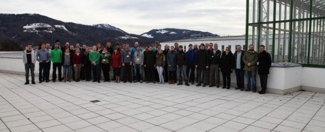
UNIGIS MSc and diploma students take off into 2014
Personal interaction with peers and access to basic information about study administration and curriculum content were at the focus of two introductory workshops held in Salzburg. 15 highly motivated students from the German-speaking world participated in the UNIGIS professional workshop from 31th January to 1st February 2014. The introductory UNIGIS MSc ‘study day’s on 6th and 7th February were attended by 40 new students from Germany, Austria, Switzerland and the Czech Republic. Diverse educational and professional backgrounds of UNIGIS students contribute to making personal get-togethers in Salzburg not only informative but also enriching and exciting start-up events. The UNIGIS MSc and professional …
Read more…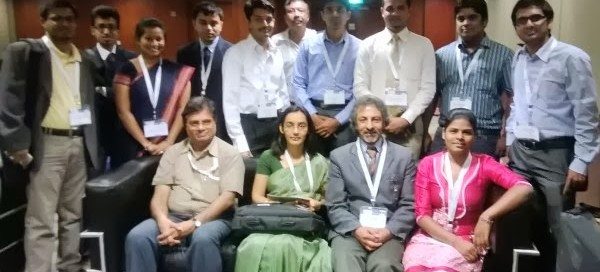
UNIGIS at IGF’2014, Hyderabad, India!
UNIGIS was again invited to coordinate a Geospatial Capacity Building and Student Forum at this year’s India Geospatial Forum held at the International Convention Centre, Hyderabad from 5th to 7th February, 2014. Geospatial Media and Communications celebrated this conference as its 100th event organised since 1998. The contributions UNIGIS has made in bringing together academia, industry and various organisations on a common platform for face-to-face discussions about a range of issues related to Geospatial Capacity Building continuously since 2003 were highly appreciated. Dr. Shahnawaz, Director (S/E Asia), UNIGIS International lead a day long Geospatial Capacity Building and Student Forum on …
Read more…5th Open Source Opportunities in GIS Summer School
Open Web Services and Web Mapping Applications From 7th to 11th of July 2014 will take place the 5th Summer School dedicated to Open Source Opportunities in GIS in Girona, organized by SIGTE of the University of Girona with the contribution of Prodevelop (OpenGeo partner) and the Nottingham Geoespatial Institute of the University of Nottingham. The Open Source Opportunities in GIS Summer School is an initiative aimed to meet the GIS professional demands related to free and open solutions, and we are working on this vision from the start. The Summer School 2014 will be focused on the development and creation …
Read more…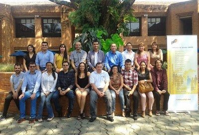
Busy months for UNIGIS in Latin America …
The last months of 2013 were quite busy ones for the UNIGIS-team in Latin America promoting the program in various events and welcoming a group of new students from Ecuador, Colombia and other Latin American countries. As every year, UNIGIS was present at the Latin American User Conference LAUC 2013, in Lima, Perú where we had the chance to meet well-know and new colleagues discussing the present state of GIS and its perspectives in Latin America. In October, we launched the first ForoMundoUNIGIS at USFQ, Quito and at our partner university ICESI in Cali Colombia. This event will be UNIGIS …
Read more…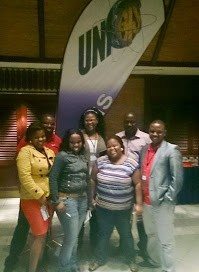
UNIGIS @ GISSA AGM & Conference
UNIGIS Sub-Saharan Africa was one of the sponsors for this year’s GISSA AGM & Conference. GISSA represents the Geo-Information community in South Africa as a national, unified, representative body to promote and protect the interests of its members. A student event was held with quite a number of the Eastern Cape Students.”It is nice to finally meet our lecturer”, said Khanya Ntleki from Buffalo City Metropolitan Municipality. Thozama Dyonase mentioned the presence of UNIGIS at the GISSA conference helped us foresee what’s ahead in the course and what to look out for in the future.
Read more…
UNIGIS Academic Excellence Award 2013
During the UNIGIS International annual network meeting, held this year in Krakow – Poland, the 2013 winner and runners-up in the UNIGIS Academic Excellence Award, dedicated to the network’s top Master’s theses, were announced: First place; – and Winner of the Academic Excellence Award – Victoria Ann CLIFF (UNIGIS – Sub Saharan Africa), for her thesis entitled: “The integration of GPS and GIS technologies as a methodology to monitor beach-dune systems: Port Elizabeth, South Africa”. Shared second place; – Maja RAPP (UNIGIS – Salzburg), for the thesis: “Biomass-mapping of alpine grassland with APEX imaging spectrometry data”. – Jeroen Gerhard STEENBEEK …
Read more… Previous Next