
UNIGIS at INSPIRE Geospatial World Forum 25-29 May
UNGIS will be present again at the INSPIRE Geospatial World Forum, this year in Lisbon from 25-29 May. We invite you to come and visit us in our booth in section D12, where our UNIGIS ambassadors are pleased to inform you about our study programmes and latest activities. You are also welcome to attend the GeoCapacity session on Monday 25 May, starting 3 pm, where Dr. Shahnawaz presents his point of view on capacity building. Our office has a few visitor passes available for those interested to visit the exhibition. Please send an email to office.uia@unigis.net to request a visitor …
Read more…Engage with leading GISc professionals: Spring 2015 u_Lectures
The spring term comes with an exciting series of u_Lectures by leading GI-Experts around the globe. Join in for webinars on the following topics: „Design is Human“ Daniel Huffman Proprietor somethingaboutmaps.com Tue 31. March, 2015, 6pm (CEST) register here „Augmented Reality ML (ARML 2.0): An Introduction“ Martin Lechner CTO at Wikitude and Chair of the international ARML 2.0 Standards Working Group Tue. 28. April, 2015, 6pm (CEST) register here „Spatial Simulation: Exploring Pattern and Process“ David O’Sullivan Assoc. Prof. at the University of California, Berkeley Tue 12. May, 6pm (CEST) register here
Read more…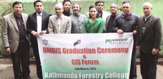
UNIGIS Convocation in Kathmandu!
UNIGIS@Kathmandu celebrated March 2, 2015 as a big day by organising the ‘UNIGIS Graduation Ceremony and GIS Forum’ at the Kathmandu Forestry College (KAFCOL), which is a UNIGIS Salzburg Study Centre in Nepal. Irrespective of cold rainy weather and traffic blockades in the city, more than 100 prominent delegates gathered to congratulate the graduating students and applauded their achievements. B. K Acharya (Left) receiving degree KAFCOL serves as a UNIGIS Study Centre in Nepal since 2012, offering UNIGIS programmes in collaboration with the Interfaculty Department of Geoinformatics – Z_GIS, University of Salzburg, Austria. Nine students had joined the MSc programme in the …
Read more…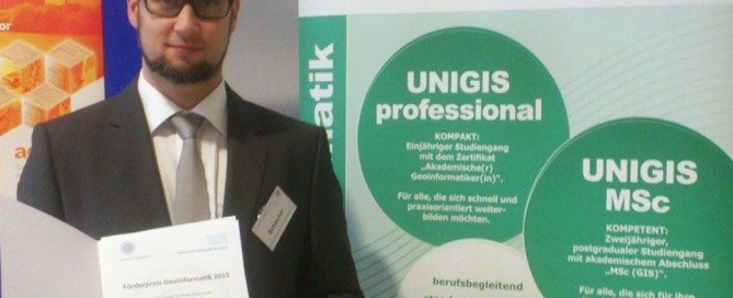
MSc Thesis – A Winner!
At the ‘Münchner GI-Runde 2015’ annual conference and awards in Munich – a leading geospatial venue for the German language community – UNIGIS graduates over the years have built a strong reputation for excellence and innovative ideas. This was continued by Christoph Schlacher (Graz), winning this year’s top price among master theses with the research he had submitted for his UNIGIS MSc: “Die Vorläufige Bewertung des Hochwasserrisikos – Alternative Ermittlung der Betroffenen in Überflutungsflächen mittels räumlicher Disaggregation” (~ ‘assessment of flood risk – determining population within flood zones through spatial disaggregation’). Congratulations Mr. Schlacher to this outstanding success and recognition …
Read more…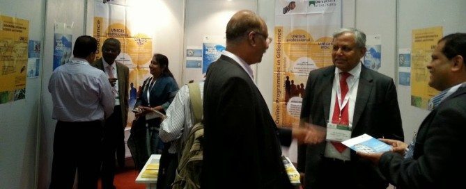
UNIGIS in a prominent role at IGF’2015 in Hyderabad
Visitors at UNIGIS Booth The UNIGIS@India team led by Dr. Shahnawaz (Director, UNIGIS S/E Asia) had a wide presence and a prominent role in this year’s India Geospatial Forum held from 10th to 12th February, 2015 at the International Convention Centre, Hyderabad. The UNIGIS booth in the exhibit area was among the most visited ones receiving prominent academics, geospatial professionals and students. Dr. Shahnawaz also coordinated a 2 day ‘Youth Forum’ on 11/12th February focussing on Geospatial capacity building. More than 100 young students and entrepreneurs, eminent academics, prominent industry leaders and successful professionals adorned the forum and shared their rich …
Read more…
Meet UNIGIS at IGF’2015 in Hyderabad!
UNIGIS is coordinating the ‘Geospatial’ capacity building sessions as a ‘Youth Forum’ at the India Geospatial Forum’ 2015 organised at the Hyderabad International Convention Centre from 10th to 12th February. The sessions focus on generating a significant impetus to building capacity of teachers, strengthening and stimulate the youth community to become successful entrepreneurs, and on providing students a platform for sharing their research with the wider Geospatial communities. The event will also provide a platform for a ‘UNIGIS Students & Alumni Meet’ and the UNIGIS Team will be available for any discussions and information sharing at ‘Booth No. 13 C’. in the exhibit …
Read more…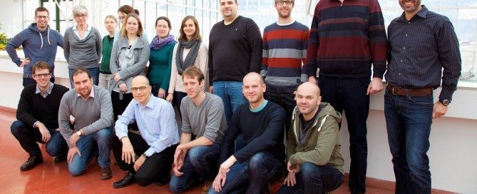
UNIGIS Professional Intro-Workshop: Space as Common Denominator
There is probably rarely any domain that does not work spatially, either implicitly or explicitly. Need a proof for this hypothesis? Visit a UNIGIS Professional introductory workshop such as the one that took place last weekend in Salzburg. We welcomed students from Germany, Switzerland and Austria who all want to enhance their geospatial knowledge and skills in order to gain benefits in their respective domains and take the next step in their career. Once again it was fascinating to witness the key role of spatial information in very different application contexts. From facility planning to archeology, from urban development to …
Read more…Upcoming: UNIGIS online u_Lecture January 27th: A Joint presentation of MSc research by Heidi El-Hosaini and Emma Lewison, UNIGIS uk
The seminar comprises two short presentations by recent MSc graduates of the UNIGIS programme in the UK. Join us for this webinar on Jan 27, 2015 at 5:00 PM GMT. Register now! Heidi El-Hosaini, Freelance GIS Consultant Locating and positioning solar panels in a 3D city model – a case study of Newcastle, UK The recent advent of high quality, realistic 3D city models is creating new possibilities for 3D visualisations and analyses to be realised. These models present considerable potential to support urban planning processes and their range of applications is rapidly expanding. The analysis of solar irradiance and …
Read more…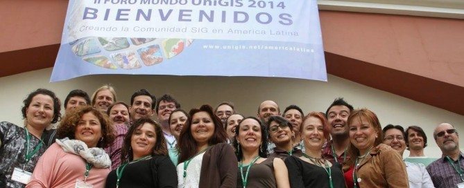
Advancing UNIGIS Latin America
The past months marked an intensive period of outreach activities carried out by the UNIGIS program established at the University San Francisco de Quito (USFQ) and several partner universities in Latin America. For the first time, the annual UNIGIS-symposium ForoMundoUNIGIS was not only held at USFQ, Ecuador and ICESI, Cali but also at our new partner sites at University Belgrano (UB), Argentina, Universidade do Estado do Rio de Janeiro (UERJ), Brasil and the National University Federico Villareal (UNFV), Perú. These events were addressed especially to the growing community of UNIGIS students and alumni in these countries aiming at giving them …
Read more…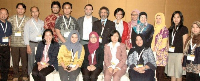
UNIGIS at Asia Geospatial Forum’ 2014 Jakarta
UNIGIS was invited to contribute to the Asia Geospatial Forum 2014 (AGF) held in Jakarta, Indonesia from 25th to 27th November, 2014 and to conduct the ‘GeoCapacity Forum’ – bringing together academia, industry, organisations and students on a common education-oriented platform for face-to-face interaction. The AGF is one of the biggest regional conferences focussed on Geospatial themes in S/E Asia and has been organised in a different country every year since 2003. UNIGIS has been entrusted with a prominent role of conducting Geospatial Capacity Building sessions at the event since 2005. Dr. Shahnawaz (Director, UNIGIS S/E Asia) represented UNIGIS and gave the lead …
Read more… Previous Next