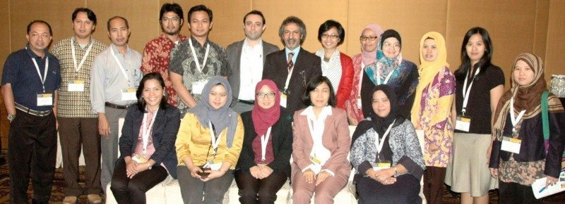
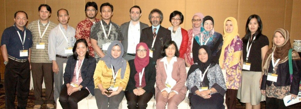
The forum concluded with a vibrant open-floor discussion where a majority of students expressed that most of the educational institutions in the region offer geospatial study programmes at undergraduate levels and the GIS skills attained at this level are not sufficient to secure them good jobs. On the other side, the representatives of organisations and industry expressed that they are not finding the ‘ready-to-deliver’ job-seekers, which is hampering the growth of geospatial projects in the affected regions.
Two distinguished panalists, Prof. Mastura Mahmud (Deputy Dean of Research, National University of Malaysia) and Dr. Chawee Busayat (Director of ITarch, Thammasat University, Thailand) exchanged their experiences about Geospatial Education in the SE Asia region as well as their visionary ideas for expanding it across the ASEAN space and enhancing its status to meet the challenges of the Job market. They also suggested that universities should offer geospatial education as a blend of online distance learning and classroom based residential periods. This will help not only current students, but also shall provide opportunities for in-service professionals to enhance their competences.
The attendees largely agreed that there is a need of exploring alternative modes of delivering geospatial education in the region serving the needs of current students as well as in-service professionals; all agreed that online distance learning programmes will serve these Needs best!


