GI_Forum 2016 registration now open
GI_Forum 2016open : spatial : interfaces July 5- 8, 2016 | Salzburg, Austria GI_Forum 2016 provides a platform for dialogue among geospatial minds in an ongoing effort to support the creation of an informed GeoInformation Society. Bearing in mind different perspectives from a variety of professions, presentations as well as workshops and exhibitions will concentrate on innovations in education, science and technologies. The spatial sciences today contribute significantly to a more just, ethical and sustainable society. Prominent keynote speakers will highlight new developments, offer insights into trends and visions, and at the same time be individually accessible for our Young …
Read more…
Celebrating 25 years of UNIGIS UK
Friday 24th June 2016, 1pm (for a 1.30pm start) – 5pm University of Salford, Digital Performance Lab, Salford Quays, M50 2HE Are you a GIS specialist? Are you interested in GIS? Want to learn more aboutdeveloping a career in GIS? Join UNIGIS UK for an afternoon of activities to celebrate 25 years of online and distance learning in Geographical Information Systems. The occasion will include: a discussion panel with guest speakers from academia and industry, including Professor Bob Barr (OBE), Dr Richard Armitage (University of Salford), and Rob Sharpe (ESRI UK); a poster session showcasing the work of UNIGIS students and staff; …
Read more…
Workshop: Geo-Entrepreneurship – Using Location to Enhance Your Competitive Advantage
Recommendation for UNIGIS students and alumni, AGIT/FOSSGIS 2016 participants! Special offer for this 1,5 days workshop around AGIT 2016 in Salzburg! Build your Geo-business idea and learn how to face certain issues on the way towards market readiness. The participants of this workshop will deal with these issues and experience important skills to bring their business into market. These skills are not only for young entrepreneurs, they are helpful for company projects as well. The workshop will take place during AGIT-week in Salzburg. Also consider visiting www.agit.at/startup Dr. Ian Heywood teaches at the Business School at university of Aberdeen …
Read more…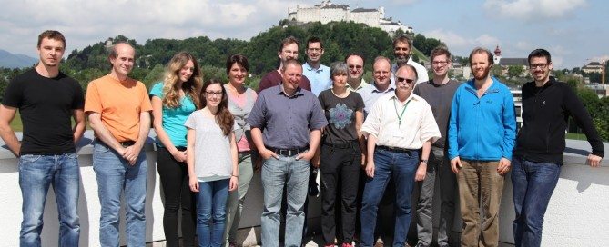
UNIGIS professional Workshop: Replacing Question Marks
Who are those people running UNIGIS? Who will be my colleagues? What are their reasons to acquire in depth GI-knowledge and skills? How will the study-year to come be organized? What can I do to get the most out of it? Was it a wise decision to invest a considerable amount of time and money into this endeavor? Questions like these our 16 new UNIGIS professional students might have had in mind, when traveling to the introductory UNIGIS professional workshop taking place in Salzburg last weekend. Although predominantly very positive answers from our graduates to the last question are promising, …
Read more…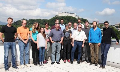
UNIGIS professional Workshop: Replacing Question Marks
Who are those people running UNIGIS? Who will be my colleagues? What are their reasons to acquire in depth GI-knowledge and skills? How will the study-year to come be organized? What can I do to get the most out of it? Was it a wise decision to invest a considerable amount of time and money into this endeavor? Questions like these our 16 new UNIGIS professional students might have had in mind, when traveling to the introductory UNIGIS professional workshop taking place in Salzburg last weekend. Although predominantly very positive answers from our graduates to the last question are …
Read more…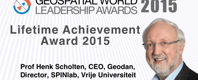
Professor Henk Scholten receives Lifetime Achievement Award
Prof Henk Scholten, CEO, Geodan, Director, SPINlab, Vrije Universiteit, has been honored with Lifetime Achievement Award by Geospatial Media and Communications for the year 2015. The award shall be presented during Geospatial World Forum on May 25, 2016 at World Trade Centre, Rotterdam. The jury, comprising of renowned professionals representing industry, academia, government and multilateral organizations, met in December ‘15 to select this year’s Geospatial World Leadership Awardees. While recognizing Scholten’s contribution as a teacher, entrepreneur and advocate of geospatial technologies ranging over 4 decades, the jury feels privileged to have chosen him for Lifetime Achievement Award. Scholten has been …
Read more…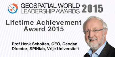
Professor Henk Scholten (UNIGIS Amsterdam) honored with a Lifetime Achievement Award by Geospatial Media and Communications
Prof Henk Scholten, CEO, Geodan, Director, SPINlab, Vrije Universiteit, has been honored with Lifetime Achievement Award by Geospatial Media and Communications for the year 2015. The award shall be presented during Geospatial World Forum on May 25, 2016 at World Trade Centre, Rotterdam. The jury, comprising of renowned professionals representing industry, academia, government and multilateral organizations, met in December ‘15 to select this year’s Geospatial World Leadership Awardees. While recognizing Scholten’s contribution as a teacher, entrepreneur and advocate of geospatial technologies ranging over 4 decades, the jury feels privileged to have chosen him for Lifetime Achievement Award. Scholten has been …
Read more…Online U_Lecture May 31st by Dr Elias Symeonakis
Tuesday 31 May 2016, 6-7 PM (CET) Dr Elias Symeonakis, Senior Lecturer – Manchester Metropolitan University & UNIGIS UK Assessing Land Degradation and Desertification using Vegetation Index Data: Current Frameworks and Future Directions Land degradation and desertification has been ranked as a major environmental and social issue for the coming decades. Thus, the observation and early detection of degradation is a primary objective for a number of scientific and policy organisations, with remote sensing methods being a candidate choice for the development of monitoring systems. This webinar reviews the statistical and ecological frameworks of assessing land degradation and desertification using vegetation …
Read more…
Geospatial Competency Lifecycle
Published article in Geospatial World Magazine May 2016 By Professor Josef Strobl The definition of geospatial career pathways, offering professional growth opportunities following a geospatial paradigm with associated competencies, will enhance the appeal of starting positions and draw smart young people into our field. The‚ ‘brainware’ behind managing and operating spatial data infrastructures, generating information from geospatial sensors and data, and effective geovisual communications increasingly is considered the main critical success factor for leveraging geospatial technologies across its application domains. Education and training on various levels are supposed to develop these competences. Even though educational programs proliferate, student numbers often …
Read more… Previous Next