No matter if you develop agrarian insurance products, maintain facility networks, provide data for community planning or do research on golden eagles: space matters.
The real world doesn’t happen on a needles tip. It requires physical space. Space not as a kind of arbitrary shoebox, it is the spatial configuration of things that often plays the key role: Real world processes require a certain form of coincidence, adjacency, nearness, connectedness or other form of spatial relationship between their elements to work out fine or happen at all. Maps can help to understand those processes in their spatial and chronological dimension, computers can be used to model and simulate them in a digital sandbox, representing the real world.
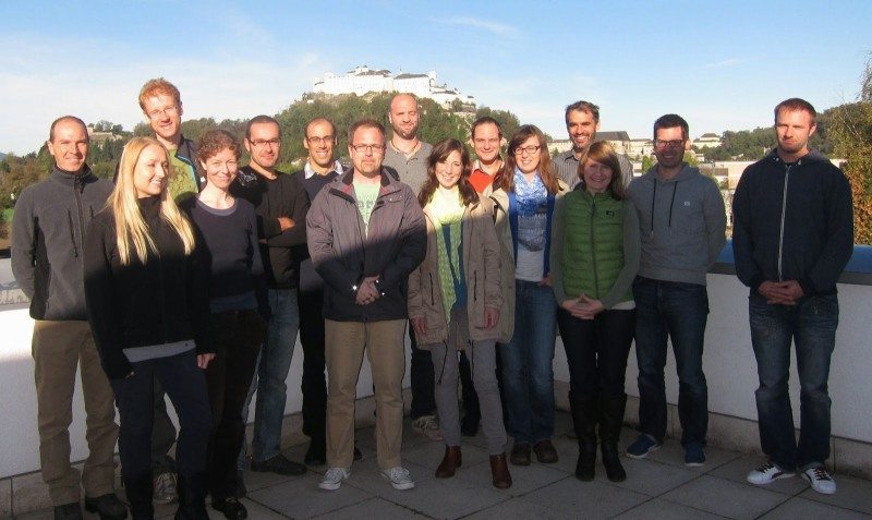
However, before we can do so and use the respective results to make better decisions, we need to learn. Not just about GI-software and data but also about the language of space. A group of 15 future GI-professionals will extensively do so within a year from now and already made a start at their introductory workshop in Salzburg. The first geospatial insights came cloud-based and shed a light on the spatial properties of the group itself. Who might be easy to reach partners to establish a local learning group? Is it possible to define my spatial neighbors and if yes, who are they? Also the question of centrality was discussed. However, centrality within a student group doing distance learning is probably better expressed in non-spatial terms: Sometimes communication matters as well.


