UNIGIS Talks Fall 2024
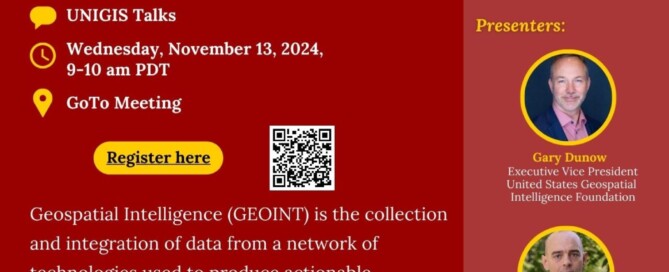
UNIGIS Talks Fall 2024 Welcome to UNIGIS Talks Fall 2024 , where we talk about GIS-related topics from all around the globe! UNIGIS invites you to examine The Value of GEOINT: Resources, Opportunities, and the Need for Actionable Information. The presentation features two GEOINT experts, Gary Dunow, Executive Vice President of the United States Geospatial Intelligence Foundation (USGIF), and Patrick Kenney, Manager of Data Simulation and Analytics at Whitespace. See flyer attached for details.🗺️💻 💻 Save the date for November 13th, 2024, from 09:00 to 10:00 pm (PDT), and participate in our session. 🔗 Register here: https://lnkd.in/gVm4GYk9 #gis #geoinformatik #geoinformatics #unigisaep #usc #mapping #career #unigis #unigistalks #unigissalzburg #GEOINT
Read more…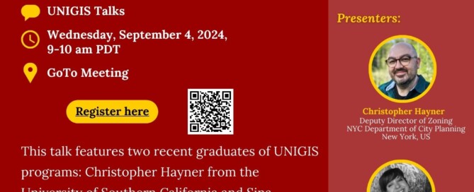
UNIGIS Talks Fall 2024
UNIGIS Talks Fall 2024 Welcome to UNIGIS Talks Fall 2024 , where we talk about GIS-related topics from all around the globe! UNIGIS invites you to know more about the UNIGIS Academic Excellence Prize Winners: A Summary of Research and Career Advancements and will feature Christopher Hayner from the University of Southern California and Sina Bernhard from the University of Salzburg🗺️💻 💻 Save the date for September 4th, 2024, from 09:00 to 10:00 pm (PDT), and participate in our session. 🔗 Register here: https://register.gotowebinar.com/register/3663010235175266390 OR here. #gis #geoinformatik #geoinformatics #unigisaep #usc #mapping #career #unigis #unigistalks #unigissalzburg Description: This talk features two recent graduates of UNIGIS programs: Christopher Hayner from the …
Read more…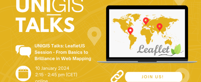
UNIGIS Talks #2
UNIGIS Talks #2 Welcome to the second episode of the UNIGIS Talks series, where we talk about GIS-related topics from all around the globe! UNIGIS invites you to dive into the creative realm of LeafletJS and web mapping in our next UNIGIS Talks episode: “LeafletJS Session – From Basics to Brilliance in Web Mapping!” 🗺️💻 💡 Our guest speaker is Suman Baral, who is a geospatial data analyst and GIS developer. Together with UNIGIS tutor Judith Grubinger, he will present some hands-on examples. 💻 Save the date for January 10th, 2024, from 2:15 to 2:45 pm (CET), and participate in our free …
Read more…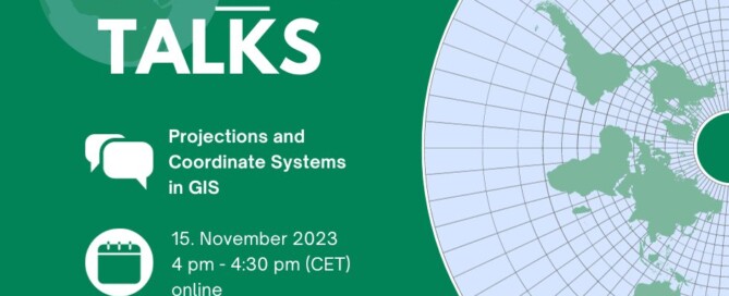
UNIGIS Talks #1 / GIS Day 2023 event
UNIGIS Talks #1 / GIS Day 2023 event Welcome to the UNIGIS Talks Series, where we talk about GIS-related topics from all around the globe. Starting with ‘globe’ … Dive into the world of maps and data on GIS Day 2023, with UNIGIS Salzburg! Join us for an insightful UNIGIS Talk on “Projections and Coordinate Systems in GIS”. Mark your calendars for November 15th, 4-4:30pm CET and join our free online tutorial. Don’t miss out on this opportunity to expand your knowledge and register now: https://attendee.gotowebinar.com/register/2686645001996127321?source=uia-news Description: Have you ever experienced that your GIS data is erroneously located somewhere in the …
Read more…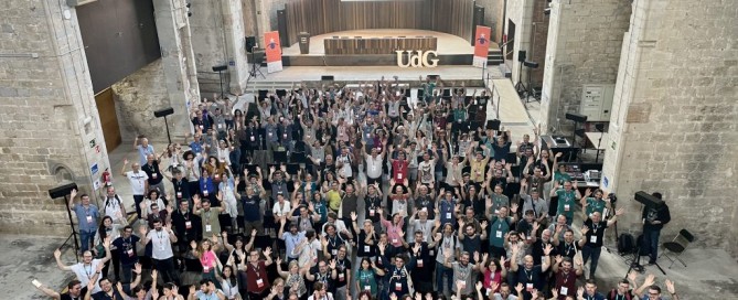
Jornadas de SIG Libre conference in Girona
Jornadas de SIG Libre conference in Girona The Jornadas de SIG Libre, organized by the GIS and Remote Sensing Service of the University of Girona, is an annual event that brings together professionals in the geotech sector to discuss and learn about geotech and spatial data science. This year’s conference, held on June 14th and 15th, was a huge success, with over 200 professionals in attendance. The conference program featured a wide range of presentations and workshops on various topics related to geotech and spatial data science. Some of the key topics covered included data visualization, spatial analysis, …
Read more…
UNIGIS Salzburg Webinars
UNIGIS Salzburg Webinars in May 2023 UNIGIS Salzburg is hosting two free upcoming webinars regarding UNIGIS courses, namely: UNIGIS Opcional Modules Day – registration here Info Webinar – Studying Geoinformatics online – registration here You decide to study UNIGIS? Then, you know what you want and what awaits you: a university degree in Geoinformatics. Eventually, all this has to be reconciled with your social environment and comes on top of an often busy working life. We at UNIGIS know that and, as a result, the UNIGIS programs are designed to be compact and to support efficient studying. The curriculum lists the …
Read more…
14th GeoMundus Conference 2022 in Lisbon (Portugal)
14th GeoMundus Conference 2022 in Lisbon (Portugal) The 14th GeoMundus Conference, was held at NOVA IMS Information Management School, in Lisbon on the last October 21st and 22nd. With more than 75 attendees on site, and around 100 online, this year’s edition was called: “GI & AI: It’s a match!”. Nevertheless, the conference won’t focus exclusively on AI-related themes, but it will also include more broad discussion and presentations on other relevant topics on GIS. The conference focused primarily on discussing main GIS concepts and the importance of Machine Learning and Artificial Intelligence algorithms for Big Data processing and …
Read more…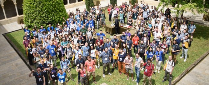
Jornades de SIG Libre 2022 in Girona (Spain)
Under the motto “where free culture meets geospatial technologies”, the Jornadas de SIG Libre – or Spanish FOSS4GSIG Conference- brought together nearly 200 professionals from all over Spain to share the most outstanding technological solutions in the geospatial sector. The conference, organized by Geographical Information Systems and Remote Sensing Service (SIGTE) of the University of Girona, was held on June 8-9 in Girona. This 15th edition, the topic of the plenary sessions was Artificial Intelligence and Machine Learning. Karina Gibert, director of the Intelligent Data science and Artificial intelligence Research Center of the UPC opened the conference with a more …
Read more…
GI_Week 2021 in Salzburg
Last week, the Department of Geoinformatics – Z_GIS at the University of Salzburg was hosting a week full of knowledge exchange, networking and inspiration. The GI_Week in Salzburg has been a unique opportunity to meet experts in the field, to discuss the latest research in and outside many different sessions, or start a new project over a cup of coffee or during a walk on the premises of the University of Salzburg’s Faculty of Natural Sciences. While the organizers decided to hold the GI_Forum2021 once again as a virtual conference, the German-language AGIT was realized as a hybrid-event. Additionally, the …
Read more…
UNIGIS International Association @EsriUC 2021
Like in the past year, the Esri User Conference 2021 (Esri UC) is again a fully virtual experience, enabling users and students from allover the world an interactive online experience with Esri and the GIS community. Also UNIGIS International Association will be part of the Esri UC as exhibitor. So take the chance and visit UNIGIS International Association and our UNIGIS Institutions at our virtual booth during one of the leading GIS events of the year. We are looking forward to meet current UNIGIS students, alumni and all of you interested in Geoinformatics and distance learning. Our team will be …
Read more… Next