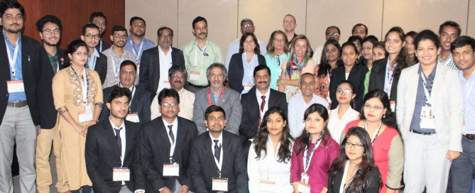
UNIGIS @ Geospatial World Forum 2018, Hyderabad
The UNIGIS International Association was invited to contribute to the Geospatial World Forum 2018 (GWF’18) conference held in Hyderabad, India from 15th to 19th January 2018. GWF is the largest conference in India focussed on geospatial themes in this country as well as around the globe. GWF is being annually organised in India or at venues in Europe. UNIGIS has been entrusted with a prominent role contributing as knowledge partner to multiple activities over several years. Prof. Josef Strobl (Chair, UNIGIS International Association) had the honour of delivering the prestigious Dr. Roger Tomlinson Memorial Lecture on January 17, attracting an …
Read more…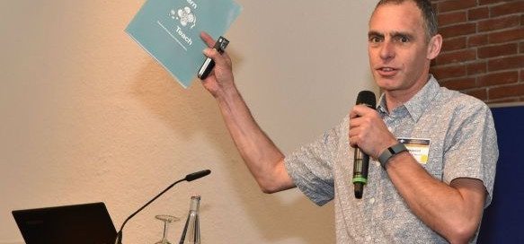
UNIGIS Fellow: Ian Heywood
The UNIGIS board of directors has decided to award the distinction of “UNIGIS Fellow” to Dr Ian Heywood – congratulations! Ian had been involved in key capacities with UNIGIS UK (Manchester) and UNIGIS International since its inception, and always played an important role as an innovator contributing many key concepts and strategies to the development of this still-unique international network of universities dedicated to online distance learning in Geoinformatics. While he is still recognized in the GIS community for his well established introductory textbook, he since has moved on to fields like innovation and entrepreneurship, and ‘up’ to the more …
Read more…
Meet UNIGIS at the Geospatial World Forum 2018
Geospatial World Forum, the premier annual global geospatial event, will take place on 17-19 January 2018 in Hyderabad, India. The conference expects participation from 3000+ participants from across the globe. Under the umbrella theme of “GEO4IR: Geo-enabling 4th Industrial Revolution”, the 10th iteration of GWF will touch upon digital disruption, which is at the heart of 4th industrial revolution. The 3-days conference will begin with inaugural and plenary sessions, followed by various thematic sessions on Smart Cities, Construction & Engineering, Location Intelligence, Defense and Public Security, Agriculture, AI and IoT, Sustainable Development Goals, Employability, Regional Cooperation, and others. The conference …
Read more…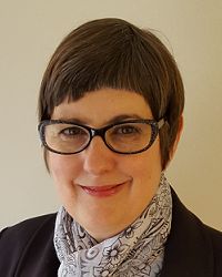
Ann Olivier named ‘UNIGIS International Fellow’
At the recent UNIGIS International network meeting, the UNIGIS board of directors unanimously decided to award the distinction of “UNIGIS Fellow” to Ann Olivier – congratulations! Ann had started her involvement with UNIGIS at the (then) Port Elizabeth Technikon, quickly developing their UNIGIS program into a highly regarded professional qualification. Over many years and through many structural changes, Ann Olivier was recognized as the ‘heart and soul’ of UNIGIS in South Africa. Numerous students owe their successful graduation to the motivation and support provided throughout their study program, and beyond: many successful geospatial careers would not have been possible without …
Read more…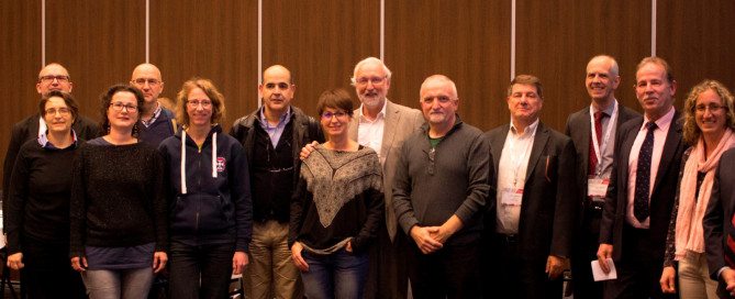
UIA Business Meeting @VU Amsterdam
During the last week of November UNIGIS Program directors have met at the Vrije Universiteit Amsterdam to discuss future development of distance learning for geospatial professionals worldwide. Throughout the meeting various information and discussion sessions were held on topics of elearning, curriculum, new resources and educational materials as well as virtual exchange of students and marketing actions. Dedicated to Dissemination, the first day of this annual meeting was concluded with a joint participation at the GEO|Design+BIM 2017 conference education panel and a meeting with industry partners. The UNIGIS International Association board of directors used this opportunity to announce the designation …
Read more…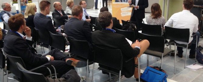
UNIGIS Geospatial Events Grant: Congratulations to new Grantees!
This year the UNIGIS International Association established the “Geospatial Events Grant” (GEG), to connect active UNIGIS students with the international geospatial community and enhance the learning experience beyond lessons and exercises. We are now pleased to announce the grantees within the second Call of this Grant! Two UNIGIS students have been awarded a grant for participating in a leading Geospatial event and presenting their work to a broad audience: Oscar Londoño, Master student at UNIGIS AmericaLatina, receives a grant for attending the Esri Health and Human Services GIS Conference 2018. Mr. Londoño is a medical epidemiologist from Cali, Colombia and …
Read more…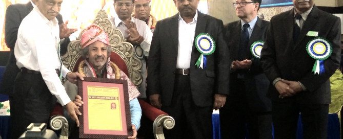
Excellence Award for UNIGIS S/E Asia Director Dr. Shahnawaz
Dr. Shahnawaz has been has been honoured with the ‘Excellency Award 2017’ by the Union of Geographic Information Technologists (UGIT) established at Bangalore University, India for his contributions in enhancing geospatial education, training and research in South and Southeast Asia over last fifteen years. Dr. Shahnawaz is Director of UNIGIS S/E Asia at the Interfaculty Department of Geoinformatics – Z_GIS, University of Salzburg, Austria and has established cooperations for Geospatial education between Z_GIS and a number of leading universities in S/E Asia and implemented a range of cooperation activities. Dr. A. S. Kiran Kumar, Chairman – Indian Space Research Organisation …
Read more…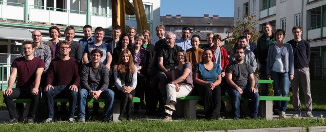
Master Thesis workshop – UNIGIS MSc 2016
“The Jadeit Connection: Modelling sea-routes in the Neolithic Aegean” and “Applying GI-Methods on localized IoT-devices and systems for interactive steering of Businesses processes” are only two Master Thesis topics showing the wide range of GIS. The UNIGIS Master Thesis workshop was held on 28 and 29 September 2017 in Salzburg, where 30 students from Germany, Austria and Switzerland presented the current status of their Master Theses, based on very diverse educational and professional backgrounds. The UNIGIS MSc team is wishing all the best and sucess with the tasks ahead.
Read more…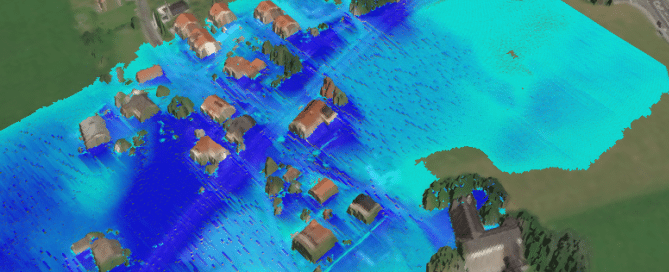
UNIGIS Winter School ‘Spatial Simulation Modelling’
UNIGIS Salzburg is offering a Winter School from February 15 – 24, 2018 in Salzburg, which addresses students and early career researchers interested in spatially explicit simulation of natural and/or social systems by the means of agent-based modelling. Individuals from domains such as Geoinformatics, Geography, Ecology, Social Science, Spatial Planning, or Forestry are welcome. Interest in computational methods is a prerequisite, but no prior knowledge in modelling or programming is needed. Organising lecturers: Prof. Andreas Koch (Social Geography, University of Salzburg), Ass. Prof. Gudrun Wallentin (Geoinformatics and Ecology, University of Salzburg) Location: University of Salzburg, Unipark Nonntal Description: Simulation models …
Read more…
Next Call for UNIGIS Geospatial Events Grants – GEG
Geospatial Events Grants Call 2017/2 – Now open for applications September 2017 “UNIGIS Geospatial Events Grants” The UNIGIS International Association is announcing the second call of the “Geospatial Events Grants” (GEG) funded by UNIGIS International Association and industry partners. Connecting active UNIGIS students with the international geospatial community and creating added value within the UNIGIS network are the objectives of the GEG. Participating in a leading Geospatial event will enhance the learning experience beyond lessons and exercises and is of course an excellent opportunity to establish new contacts with GIS experts from all over the world. The call considers the …
Read more… Previous Next