
Winners of the UNIGIS Academic Excellence Prize
The UNIGIS International Association (UIA) is honoured to announce the winners of its 2014 Academic Excellence Prize: This award, initiated in 2008, is presented to the student, or students, nominated by their UNIGIS sites for submitting the best MSc thesis (or paper) during the academic year. This year the competition was very tight with nine excellent high quality MSc theses being considered by the review panel. In the end the panel decided to make four awards. The winner of the Academic Excellence Prize for 2014 was Heidi El Hosaini (UNIGIS UK), the first runner up was Trang Minh VoPham (USC) …
Read more…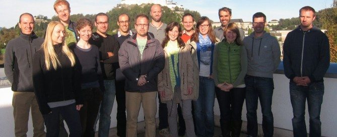
Start learning the language of space!
No matter if you develop agrarian insurance products, maintain facility networks, provide data for community planning or do research on golden eagles: space matters. The real world doesn’t happen on a needles tip. It requires physical space. Space not as a kind of arbitrary shoebox, it is the spatial configuration of things that often plays the key role: Real world processes require a certain form of coincidence, adjacency, nearness, connectedness or other form of spatial relationship between their elements to work out fine or happen at all. Maps can help to understand those processes in their spatial and chronological dimension, …
Read more…Upcoming u_Lecture Webinars
UNIGIS u_Lecture webinars are presented by invited speakers from academia, the GI industry, public administration, NGOs and other actors in the field of Geoinformatics and GIScience. Although this online lecture series is primarily designed for UNIGIS alumni and active UNIGIS students, participation is free for everybody. u_Lectures autumn/winter: 21 October 2014:Ed Parsons, Google Google Maps: Reinventing Cartography 25 November 2014:Darren Ruddell, University of Southern CaliforniaGeospatial Technologies and Urban Resilience: Building a Better World 16 December 2014:Muki Haklay, University College LondonWhat geographic information science got to do with citizen science? 27 January 2015 (double feature, MSc work):Heidi El-Hosaini, MSc student @ …
Read more…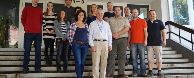
Success story of UNIGIS Hungary continued …
On September 20th, this year’s group of 12 new UNIGIS candidates met for the first time under the new umbrella of Óbuda University. The Institute of Geoinformatics at the Alba Regia Technical Faculty in Székesfehérvár welcomed a highly motivated and ambitious class composed of surveyors, agricultural and forest engineers, geographers and other disciplines. With this 19th intake UNIGIS Hungary continues to offer advanced education within the UNIGIS International framework, leading students to a formal qualification with a postgraduate certificate and options to obtain international MSc degrees.
Read more…
UNIGIS Day Switzerland
No matter if you listen to experts from the domain of environmental or regional planning, the administration of agricultural subsidies or the simulation and visualization of urban masterplans – GIS plays and will play a significant role. And thus fundamental GIS education is widely demanded. This is the essence of this year’s UNIGIS Day Switzerland which took place last Friday (09-19) at the University of Applied Sciences in Rapperswil (HSR). This is the place to be at UNIGIS Day Switzerland! Approximately 50 UNIGIS alumni and students, active members of the Swiss GIS community and experts from industry, administration and academia …
Read more…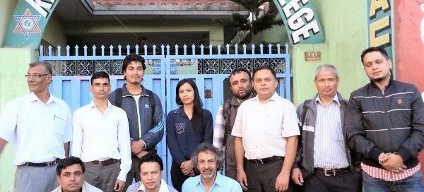
UNIGIS MSc Days in Nepal
UNIGIS@Kathmandu organised a week long intensive workshop from September 1-6, 2014 at Kathmandu Forestry College (KAFCOL), Nepal. The workshop focussed on enhancing the geospatial analytical competences of UNIGIS MSc candidates by critically discussing their Master theses currently being prepared by 9 students. The students presented preliminary findings of their research encompassing a range of topics highly relevant to the environment and society in the Himalayas. Their research areas covered land use / land cover changes, forest biomass estimation in various ecological zones, soil carbon estimation, habitat suitability for particular tree and animal species as well as applications of GIS for evaluating …
Read more…
UNIGIS Salzburg: the key to geospatial careers
UNIGIS at Z_GIS – University of Salzburg is opening the 2014 fall registration period for online programs in GI/Science! Summer is a period for considering plans and making decisions about future career pathways. Professional development, attaining new qualifications through e.g. continuing education and maybe even distance learning today is key to opening up new career options. The UNIGIS Salzburg program recently has received top accolades by leading GIS industry actors like e.g. Oracle and ESRI, and is closely cooperating with FOSS and international organisations. With alumni from UNIGIS’ 20+ years of record, MSc and certificate awards in GIScience / Geoinformatics …
Read more…
Academic Recognition for Universidad de Belgrano
The Buenos Aires – based Universidad de Belgrano (UB) has entered an agreement to work towards joining UNIGIS en América Latina as a regional study center. As a first step, a locally implemented ‘diplomatura’ in GIS will be recognized as equivalent with introductory UNIGIS modules, paving a pathway for students to continue towards UNIGIS professional certificate and UNIGIS MSc programs at the University of Salzburg. Mónica Inés Fernández (Dean, UB Faculty of Architecture and Urban Studies) together with Bárbara Constantinidis and Martín Orduña led the coordination talks with Richard Resl (UNIGIS en América Latina) and Josef Strobl (Z_GIS, University of …
Read more…
First Graduate with Salzburg-Quito Dual Degree
On June 18th, Diego Xavier Morales Jadán, the first Latin American graduate of the UNIGIS Dual Degree program established between Z_GIS, University of Salzburg and USFQ Quito, Ecuador, had the chance to participate in the official graduation ceremony taking place at the Great Hall (Aula) of Salzburg University. The degree award document was presented by Salzburg Rector Prof. Heinrich Schmidinger. Diego has earned this degree with fulfilling all course requirements and completing his Master Thesis on “Development of a spatial load forecasting module for optimizing planning of electricity supply” in Ecuador. On behalf of the UNIGIS team in Ecuador and …
Read more…
Rio de Janeiro University Exploring UNIGIS Cooperation
Richard Resl from UNIGIS en América Latina and Josef Strobl from the UNIGIS International Association (UIA) on July 21 were visiting ‘LabGIS’ and the international department of the Rio de Janeiro State University (UERJ) to introduce the UNIGIS network mission and practice, and to discuss next steps towards UERJ joining UNIGIS as a new study center for Brazil. LabGIS at the Department of Geology has established a reputation of excellence for applied research as well as for high quality education in basic and advanced GIS methods and technologies, supporting a range of partners and students from a variety of disciplines …
Read more… Previous Next