21 UP FOR UNIGIS UK!!!
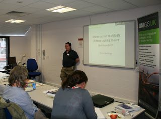
This September saw the 21st intake of students to the programmes run by UNIGIS UK at the Universities of Manchester Metropolitan and Salford. The start of the new UNIGIS academic year also coincided with the introduction of UNIGIS UK’s brand new Master programmes for 2011/12. The three new programmes being · MSc in Geographical Information Systems – which provides a broad grounding in the major aspects of contemporary GIS · MSc in Applied GIS – which focuses on the applications of GIS and Geographical Information · MSc in Geographical Information Technologies – which provides the opportunity to look at the …
Read more…UNIGIS UK ATTENDS AGI
In late September UNIGIS UK represented the UNIGIS Network at the annual conference of the Association for Geographic Information (AGI), which was held at the East Midlands Conference Centre in Nottingham (UK). The event, which is one of the major GIS meetings to be held in the UK, provided the UNIGIS UK team with the opportunity to formally launch our new MSc programmes. In addition to sponsoring the conference, UNIGIS UK also had a stand, which proved very popular with conference goers. A wide range of individuals and organisations, from both public and private sectors, stopped by the stand to …
Read more…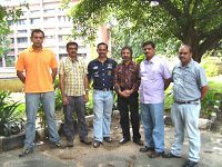
UNIGIS Orientation Workshop in Chandigarh, India!
UNIGIS@PU_Chandigarh started their 3rd batch of students with an orientation workshop organised at the Department of Geography, Panjab University, Chandigarh (India) from 2nd to 4th September, 2011. Dr. Shahnawaz (UNIGIS Director S/E Asia) conducted the workshop with 9 students in a unique combination of course participants from Govt. agencies, UN officials, GI-industry managers, engineers and defence personnel. Prof. Smita Bhutani (Course Coordinator) welcomed the incoming students to the course and expressed her commitment to serving these senior professionals and officials from various backgrounds. Dr. Krishna Mohan (Chairman Geography Dept.) stated that the department feels honoured in supporting advanced students from …
Read more…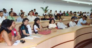
UNIGIS Coordinating Academia-Industry Interface at HealthGIS’2011
UNIGIS was invited to coordinate a GIScience education session in the form of a discussion forum for bringing academia and industry face-to-face during the 4th International Conference in HealthGIS’2011 held in Delhi, India during the first week of August. Dr. Shahnawaz (Director S/E Asia, UNIGIS International) conducted the session ‘Problems and Prospects of GIScience Education : A Discussion Forum’ on 4th August. This brought together more than 60 participants including undergraduate and post-graduate students as well as teachers from 3 colleges and 3 universities, industry representatives from leading companies like ESRI India, from Government and non-governmental organisations. The discussion was focussed …
Read more…
ESRI International User Conference in San Diego
UNIGIS International again is actively participating at the annual ESRI International User Conference in San Diego. From Tuesday onwards information on all UNIGIS Distance Learning programs is provided at our booth in the main exhibit hall. Numerous visitors stopped by to find out about UNIGIS postgraduate education offerings – current and prospective students, UNIGIS alumni as well as university faculty / staff. UNIGIS programs are represented by faculty from several UNIGIS member institutions. Representatives from UNIGIS USC (Los Angeles), Quito, Salzburg and Krakow staff the booth and actively promote UNIGIS studies worldwide.
Read more…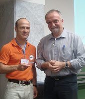
UIA Academic Excellence Prize – Award Ceremony
Two of the UNIGIS Academic Excellence Prize 2010 winners – Eva Willersley (UNIGIS Manchester) and Hans-Jörg Stark (UNIGIS Salzburg) presented their top quality MSc theses at the GI_Forum 2011 in Salzburg. The thesis from Eva Willersley titled “Methods of extracting a coastline from satellite imagery and assessing the accuracy” was considered as the best UNIGIS thesis in 2010. Hans-Jörg Stark presented another winning thesis titled “Quality assurance of crowdsourced geocoded address-data within OpenAddresses – Concepts and Implementation”. After presentation at the GI_Forum they were publicly awarded with the trophy by UNIGIS International chair Josef Strobl in recognition of their work …
Read more…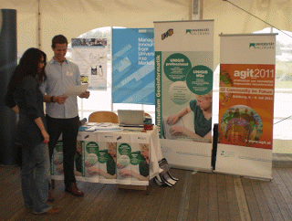
UNIGIS at Geoinformatik 2011
For the third time UNIGIS presents its distance-learning programs at the ‘Geoinformatik’, a symposium on GIS with a small trade fair, hosted by the University of Münster (Germany) this year. The UNIGIS-booth serves as meeting point for UNIGIS-Alumni, active participants and interested (future) students. As a novelty we share our booth with the research studio iSPACE in order to emphasize the strong integration of UNIGIS in a vital network of research and industrial application.For those who haven’t made it to Münster the next opportunity to get in touch with UNIGIS lies straight ahead: visit us at GI-Forum and AGIT, July …
Read more…UNIGIS Academic Excellence Prize 2011
The UNIGIS International Association is pleased to announce the next ‘UNIGIS International Academic Excellence Prize’ competition. The Academic Excellence Prize, launched by UIA in 2007/08, is awarded on an annual basis to a student, from one of the UNIGIS Centers Worldwide, who produces the most outstanding MSc Dissertation/Thesis or paper during the academic year. All UNIGIS centers are encouraged to take part in the competition. Centres are reminded that they can only enter two students in any one year. The criteria used to evaluate the theses include: technical quality, quality of literature review, relevance, presentation and originality. The standard of …
Read more…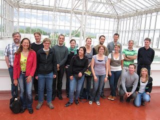
UNIGIS professional group in Salzburg started
For the May intake of the UNIGIS professional certificate course, 13 out of 16 new students met in Salzburg to get to know each other and together start into an intensive year of studying. With the exception of this introductory workshop UNIGIS professional is completely based on online distance learning: the programme consists of seven core modules plus electives with a total workload of 60 ECTS. The curriculum covers spatial data acquisition, modeling, management and visualisation as well as spatial analysis and application software development. A great variety of real world exercises and assignments ensure the practical applicability of the learned concepts. …
Read more…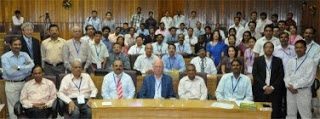
UNIGIS Invited to ISPRS WG VI/4 – ISRS Joint International Workshop!
UNIGIS was invited to the International Workshop on ‘Multinational Geomatics Capacity Building–Achievements and Challenges’ jointly organised by the International Society for Photogrammetry and Remote Sensing WG VI/4 and Indian Society for Remote Sensing, India. The workshop was organised at the Indian Institute of Remote Sensing, Dehradun (India) on 7-8 April, 2011. More than 100 delegates from India, Nepal, Nigeria, Taiwan, Thailand, Netherlands and Austria took part in the 2 day international workshop. The participants came from various government organisations as well as from education and research institutions. Dr. Shahnawaz (Director, UNIGIS S/E Asia) delivered the leading talk in the technical …
Read more… Previous Next