UNIGIS Talks #1 / GIS Day 2023 event

Welcome to the UNIGIS Talks Series, where we talk about GIS-related topics from all around the globe. Starting with ‘globe’ …
Dive into the world of maps and data on GIS Day 2023, with UNIGIS Salzburg! ![]()
![]()
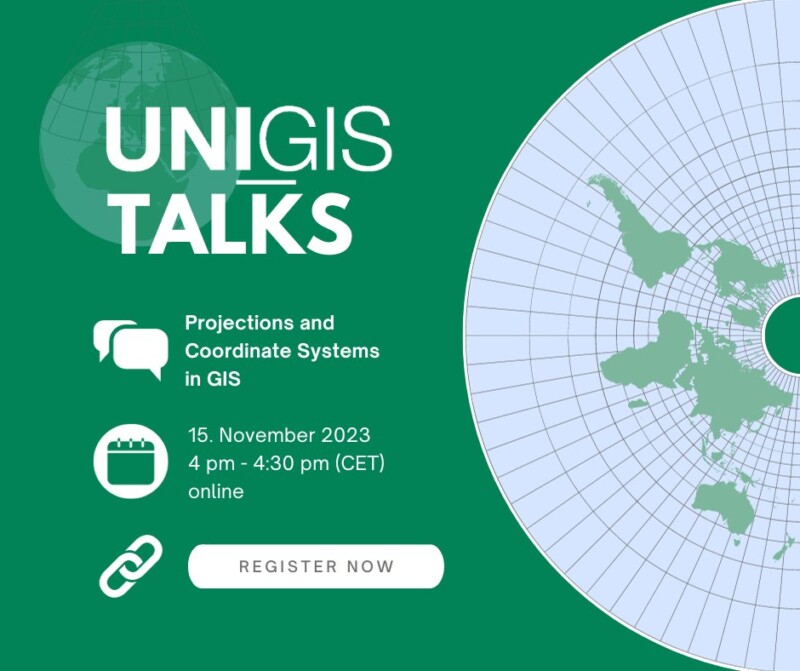
![]() Join us for an insightful UNIGIS Talk on “Projections and Coordinate Systems in GIS”.
Join us for an insightful UNIGIS Talk on “Projections and Coordinate Systems in GIS”.
![]() Mark your calendars for November 15th, 4-4:30pm CET and join our free online tutorial.
Mark your calendars for November 15th, 4-4:30pm CET and join our free online tutorial.
![]() Don’t miss out on this opportunity to expand your knowledge and register now: https://attendee.gotowebinar.com/register/2686645001996127321?source=uia-news
Don’t miss out on this opportunity to expand your knowledge and register now: https://attendee.gotowebinar.com/register/2686645001996127321?source=uia-news
Description:
Have you ever experienced that your GIS data is erroneously located somewhere in the ocean, or (less obvious) does not perfectly align with other GIS data and the basemap? In this 20 – 30 minute talk, Gudrun Wallentin and Christoph Traun from the UNIGIS Salzburg Distance Learning Program will introduce you to coordinate systems and projections, and guide you through a hands on tutorial with practical examples.
The UNIGIS Salzburg team is looking forward to exploring this topic with you! M(h)appy GIS-Day!
Speakers: Dr. Gudrun Wallentin: Head of UNIGIS Salzburg, research area: Spatial Simulation and Ecology, and
Dr. Christoph Traun: Program Director of UNIGIS professional, research area: Cartography and Visualisation

