About the UNIGIS Institution:
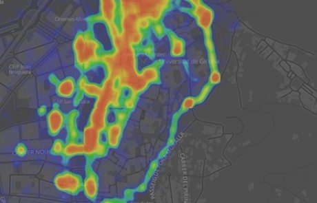
The Geographical Information Systems and Remote Sensing Service (SIGTE) of the University of Girona (UdG) is a research support service specialized in geospatial data treatment and the use and application of geographic information technologies, which offers technical support, advice, training and technological solutions in the field of geographic information. Since 1998 SIGTE has been responsible for the UNIGIS programme in Spain, UNIGIS Girona, with more than 1,000 students having participated in the GIS training programme. See the map of our UNIGIS Girona community: http://www.unigis.es/unigismap
UNIGIS Institution information
Language: Spanish
Contact
Do you want to contact this UNIGIS Institution?